


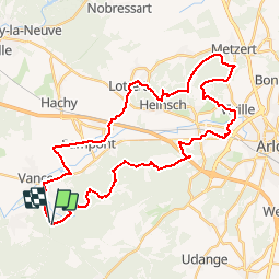

12,6 km | 16,2 km-effort


Gebruiker


Gratisgps-wandelapplicatie
 SityTrail
IGN / Geografische instituten
SityTrail World
De wereld gaat voor u open
Tocht Mountainbike van 37 km beschikbaar op Wallonië, Luxemburg, Étalle. Deze tocht wordt voorgesteld door phugues.
Hors zone peste porcine
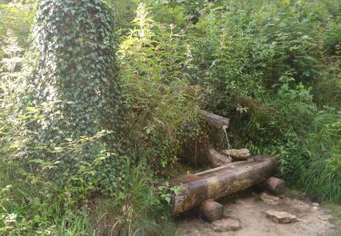
Stappen

Stappen
Stappen

Stappen
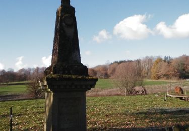
Stappen

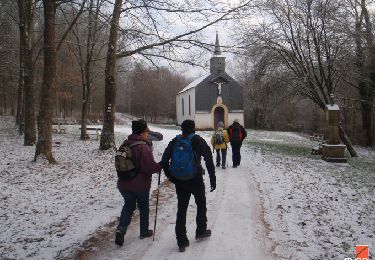
Te voet
Mountainbike
Stappen
Stappen