11,8 km | 15,4 km-effort
Dole-Besançon-Dole
albert39
Gebruiker
Lengte
128 km
Max. hoogte
373 m
Positief hoogteverschil
1502 m
Km-Effort
148 km
Min. hoogte
194 m
Negatief hoogteverschil
1513 m
Boucle
Neen
Datum van aanmaak :
2014-12-10 00:00:00.0
Laatste wijziging :
2014-12-10 00:00:00.0
6h15
Moeilijkheid : Zeer moeilijk
Gratisgps-wandelapplicatie
Over ons
Tocht Fiets van 128 km beschikbaar op Bourgondië-Franche-Comté, Jura, Dole. Deze tocht wordt voorgesteld door albert39.
Beschrijving
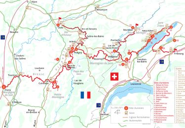
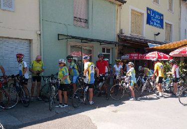
Sortie RSGD (organisé par Jacques). Repas au cercle de la Gendarmerie. coupure batterie au retour sur Dole !
Plaatsbepaling
Land:
France
Regio :
Bourgondië-Franche-Comté
Departement/Provincie :
Jura
Gemeente :
Dole
Locatie:
Unknown
Vertrek:(Dec)
Vertrek:(UTM)
688417 ; 5218019 (31T) N.
Opmerkingen
Wandeltochten in de omgeving
Mont Roland 11.7km 20161215
Stappen
Heel gemakkelijk
(2)
Jouhe,
Bourgondië-Franche-Comté,
Jura,
France
3h 18min
Ja
Via Cluny: de Dole (Jura) à Cluny
Stappen
Zeer moeilijk
Dole,
Bourgondië-Franche-Comté,
Jura,
France
360 km | 478 km-effort
108h 38min
Neen
mn05
Wegfiets
Zeer moeilijk
Dole,
Bourgondië-Franche-Comté,
Jura,
France
58 km | 63 km-effort
7h 44min
Neen
muguet confinement
Stappen
Gemakkelijk
Dole,
Bourgondië-Franche-Comté,
Jura,
France
8 km | 9 km-effort
2h 16min
Ja
g)Etapa 7
Stappen
Gemakkelijk
Jouhe,
Bourgondië-Franche-Comté,
Jura,
France
26 km | 31 km-effort
2h 4min
Neen
Sentier des chênes rouges
Stappen
Gemakkelijk
Dole,
Bourgondië-Franche-Comté,
Jura,
France
11,6 km | 13,7 km-effort
3h 47min
Ja
Bletterans
Fiets
Moeilijk
Dole,
Bourgondië-Franche-Comté,
Jura,
France
125 km | 138 km-effort
6h 11min
Ja
Circuit Mont-Roland
Noords wandelen
Moeilijk
Jouhe,
Bourgondië-Franche-Comté,
Jura,
France
11 km | 16,1 km-effort
2h 9min
Ja