


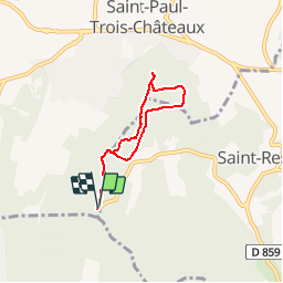

12,2 km | 15,9 km-effort


Gebruiker


Gratisgps-wandelapplicatie
 SityTrail
IGN / Geografische instituten
SityTrail World
De wereld gaat voor u open
Tocht Stappen van 5,4 km beschikbaar op Auvergne-Rhône-Alpes, Drôme, Saint-Paul-Trois-Châteaux. Deze tocht wordt voorgesteld door aitkhedache.
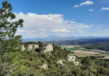
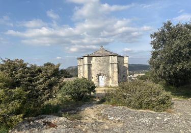
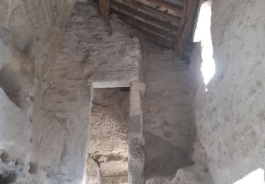
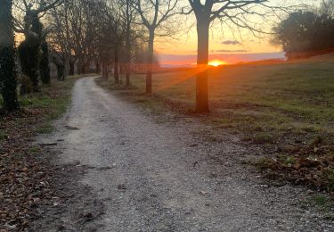
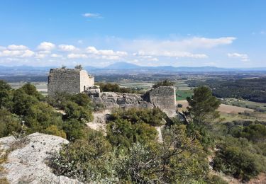
Depuis le parking des caves cathédrales, jusqu'à la chapelle St Juste en passant par les anciennes carrières.
Une promenade facile en sous-bois. La visite des anciennes carrières offre un terrain de jeux apprècié des enfants.

Stappen
Stappen

Stappen

Stappen

Mountainbike

sport
Stappen
Stappen
Stappen