


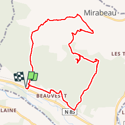

14,5 km | 21 km-effort


Gebruiker


Gratisgps-wandelapplicatie
 SityTrail
IGN / Geografische instituten
SityTrail World
De wereld gaat voor u open
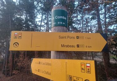
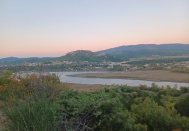
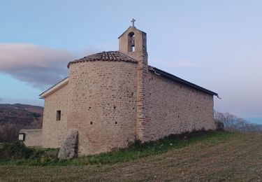
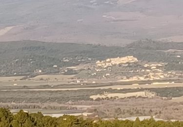
Tocht Stappen van 11,5 km beschikbaar op Provence-Alpes-Côte d'Azur, Alpes-de-Haute-Provence, Mirabeau. Deze tocht wordt voorgesteld door lviallet.
Attention: Montée dans le lit d'un torrent. Ne pas faire cette randonnée si risque d'orage.
Faite le 27/01/2019


Stappen
Stappen
Stappen
Stappen
Stappen
Stappen

Stappen
Stappen
Stappen