


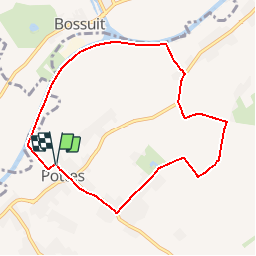


5,8 km | 6,3 km-effort
Randonnées de RandoFamili


Gratisgps-wandelapplicatie
 SityTrail
IGN / Geografische instituten
SityTrail World
De wereld gaat voor u open
Tocht Stappen van 7,5 km beschikbaar op Wallonië, Henegouwen, Celles. Deze tocht wordt voorgesteld door Rando Famili.
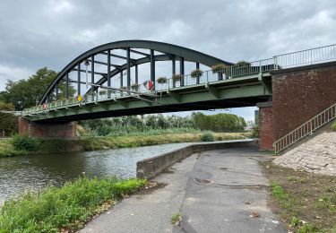
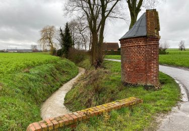
<p> En route pour une balade champêtre et bucolique. Sur votre chemin, vous découvriras de nombreux gîtes charmants et les demeures seigneuriales qui témoignent de la riche et longue histoire des seigneuries qui se partageaient le territoire de Pottes : celle du Quesnoy et celle de Germignies. La campagne, animée par les animaux de ferme en pâture, se dévoilera au fil de vos pas avec le Mont Saint-Aubert en toile de fond. </p>

Te voet

Te voet

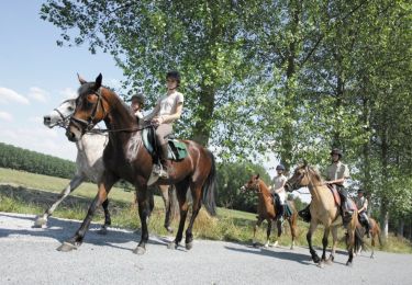
Paard

Te voet

Stappen
Paard
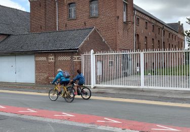
Stappen
Stappen
Stappen