


7,8 km | 12,6 km-effort


Gebruiker GUIDE


Gratisgps-wandelapplicatie
 SityTrail
IGN / Geografische instituten
SityTrail World
De wereld gaat voor u open
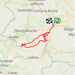
Tocht Stappen van 22 km beschikbaar op Grand Est, Bas-Rhin, Ranrupt. Deze tocht wordt voorgesteld door holtzv.
Avec Matthieu, Vincent et Katiana.
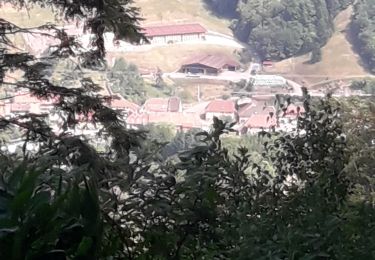
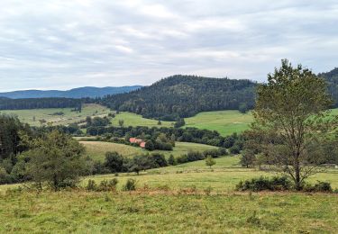
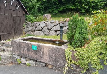
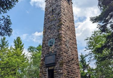
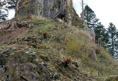
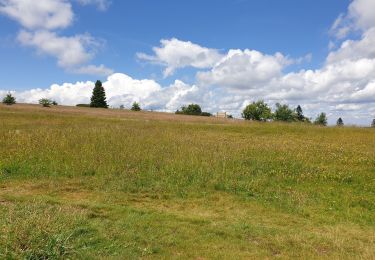
Départ du col de steige et passage par la tour du Climont, l'Abatteux, le kiosque et la roche des fées et le belvédère du Voyemont. Retour par la ferme du Hang et Caroline


Stappen
Paardrijden

Paardrijden
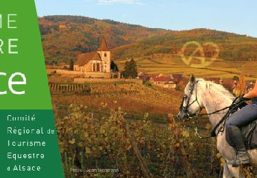
Paardrijden
Stappen
Stappen

Sneeuwschoenen
Stappen
Stappen