

Ref Altissimo - Graffer

GAPIAN43
Gebruiker

Lengte
9,1 km

Max. hoogte
2451 m

Positief hoogteverschil
1261 m

Km-Effort
23 km

Min. hoogte
1434 m

Negatief hoogteverschil
436 m
Boucle
Neen
Datum van aanmaak :
2018-12-19 09:40:33.177
Laatste wijziging :
2019-07-26 14:35:50.853
4h54
Moeilijkheid : Moeilijk

Gratisgps-wandelapplicatie
Over ons
Tocht Stappen van 9,1 km beschikbaar op Trento-Zuid-Tirol, Provincia di Trento, Molveno. Deze tocht wordt voorgesteld door GAPIAN43.
Beschrijving
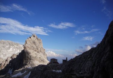
Brenta 2019 - Jour 2 - Rif Crozz -> Rif Graffer. Un passage difficile ensuite moyen. Très sauvage pas de végétation. Temps de marche environ 6h
Plaatsbepaling
Land:
Italy
Regio :
Trento-Zuid-Tirol
Departement/Provincie :
Provincia di Trento
Gemeente :
Molveno
Locatie:
Unknown
Vertrek:(Dec)
Vertrek:(UTM)
649097 ; 5114814 (32T) N.
Opmerkingen
Wandeltochten in de omgeving
Senter de la Mars


Te voet
Gemakkelijk
Molveno,
Trento-Zuid-Tirol,
Provincia di Trento,
Italy

5,1 km | 13,4 km-effort
3h 2min
Neen
Via ferrata delle Bocchette "Alfredo e Rodolfo Benini"


Te voet
Gemakkelijk
Ville d'Anaunia,
Trento-Zuid-Tirol,
Provincia di Trento,
Italy

4,9 km | 11,1 km-effort
2h 30min
Neen
Via ferrata delle Palete


Te voet
Medium
Ville d'Anaunia,
Trento-Zuid-Tirol,
Provincia di Trento,
Italy

12,4 km | 25 km-effort
5h 38min
Neen
Sentiero della Ceda


Te voet
Medium
San Lorenzo Dorsino,
Trento-Zuid-Tirol,
Provincia di Trento,
Italy

5,9 km | 20 km-effort
4h 35min
Neen
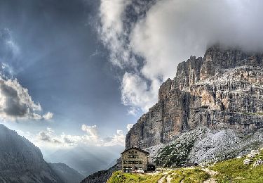
Via ferrata alpinistica "Daniele Martinazzi"


Te voet
Gemakkelijk
Tre Ville,
Trento-Zuid-Tirol,
Provincia di Trento,
Italy

3,9 km | 11,5 km-effort
2h 36min
Neen
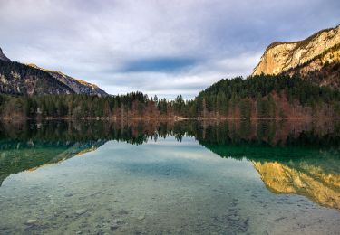
IT-O314


Te voet
Medium
Molveno,
Trento-Zuid-Tirol,
Provincia di Trento,
Italy

12,8 km | 23 km-effort
5h 10min
Neen
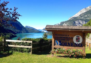
IT-O352


Te voet
Gemakkelijk
Cavedago,
Trento-Zuid-Tirol,
Provincia di Trento,
Italy

5,4 km | 8,7 km-effort
1h 58min
Neen
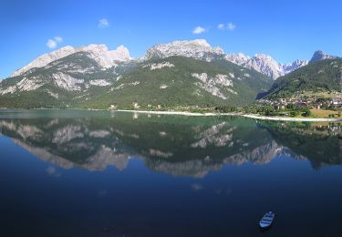
IT-O612


Te voet
Medium
Molveno,
Trento-Zuid-Tirol,
Provincia di Trento,
Italy

9,2 km | 21 km-effort
4h 47min
Neen
Via Ferrata "Osvaldo Orsi"


Te voet
Gemakkelijk
Tre Ville,
Trento-Zuid-Tirol,
Provincia di Trento,
Italy

6,2 km | 13,8 km-effort
3h 8min
Neen


 SityTrail


