

Le site des 2 Donons

VacheKiri67
Gebruiker

Lengte
12,6 km

Max. hoogte
996 m

Positief hoogteverschil
508 m

Km-Effort
19,4 km

Min. hoogte
741 m

Negatief hoogteverschil
508 m
Boucle
Ja
Datum van aanmaak :
2014-12-10 00:00:00.0
Laatste wijziging :
2014-12-10 00:00:00.0
4h52
Moeilijkheid : Medium

Gratisgps-wandelapplicatie
Over ons
Tocht Stappen van 12,6 km beschikbaar op Grand Est, Bas-Rhin, Grandfontaine. Deze tocht wordt voorgesteld door VacheKiri67.
Beschrijving
Faite le 30/06/2013 en 4h50 (dont 0h50 de pauses) avec notre fils de 8 ans.
D'après : Passion Vosges - La Haute-Bruche N°04 Page 48
Le site des deux Donons
Mais sens modifié.
Plaatsbepaling
Land:
France
Regio :
Grand Est
Departement/Provincie :
Bas-Rhin
Gemeente :
Grandfontaine
Locatie:
Unknown
Vertrek:(Dec)
Vertrek:(UTM)
363354 ; 5374445 (32U) N.
Opmerkingen
Wandeltochten in de omgeving
Donon sentier des casemates - sud


Stappen
Medium
(1)
Grandfontaine,
Grand Est,
Bas-Rhin,
France

12,6 km | 16,9 km-effort
4h 13min
Ja
Col de Prayé


Stappen
Moeilijk
(1)
Moussey,
Grand Est,
Vogezen,
France

16,8 km | 23 km-effort
6h 55min
Ja
suuntoapp-Hiking-2024-03-17T08-46-21Z


Stappen
Gemakkelijk
La Broque,
Grand Est,
Bas-Rhin,
France

23 km | 35 km-effort
7h 55min
Ja
2023-05-29 Marche Les Minières Lac de la Maix


Stappen
Medium
Grandfontaine,
Grand Est,
Bas-Rhin,
France

22 km | 34 km-effort
7h 43min
Ja
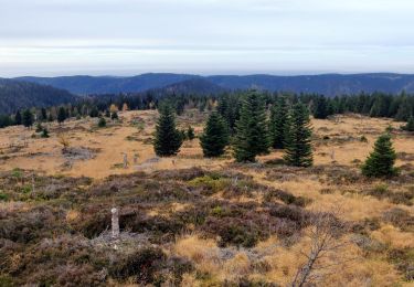
2022-11-12 Marche Grandfontaine Tête Mathis Col de Praye La Corbeille


Stappen
Medium
Grandfontaine,
Grand Est,
Bas-Rhin,
France

15,3 km | 23 km-effort
4h 34min
Ja
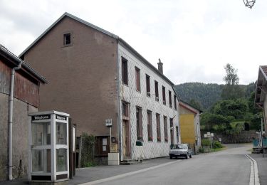
Circuit du Chemin d'Allemagne


Te voet
Gemakkelijk
Grandfontaine,
Grand Est,
Bas-Rhin,
France

8,7 km | 13,9 km-effort
3h 10min
Neen
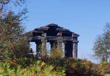
2020-09-20 Marche Donon Petit Donon Casemates


Stappen
Heel gemakkelijk
(1)
Grandfontaine,
Grand Est,
Bas-Rhin,
France

13,4 km | 20 km-effort
4h 17min
Ja
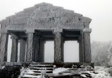
2019-01-05 Marche Temple du Donon


Stappen
Medium
Grandfontaine,
Grand Est,
Bas-Rhin,
France

5,6 km | 9,3 km-effort
1h 54min
Ja
Wisches - circuit 1 des sculptures


Stappen
Moeilijk
Wisches,
Grand Est,
Bas-Rhin,
France

8,5 km | 12,4 km-effort
2h 48min
Ja


 SityTrail


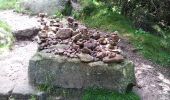
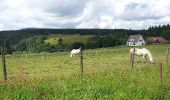

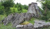
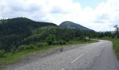
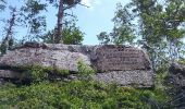
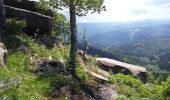

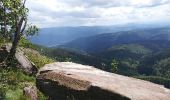

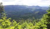

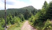

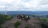


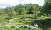

Superbe parcours à la découverte des 2 Donon par une belle journée ensoleillée et avec les sentiers enneigés.
Autant vous croiserez du monde sur le Donon, autant vous serez seuls sur le Petit Donon ! Vous y trouverez une vue magnifique.