


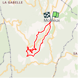

11,9 km | 19,1 km-effort


Gebruiker


Gratisgps-wandelapplicatie
 SityTrail
IGN / Geografische instituten
SityTrail World
De wereld gaat voor u open
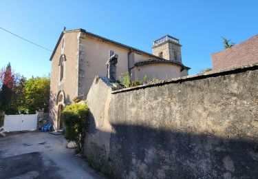
Tocht Te voet van 12,5 km beschikbaar op Provence-Alpes-Côte d'Azur, Vaucluse, Monieux. Deze tocht wordt voorgesteld door olivierchauchoy.
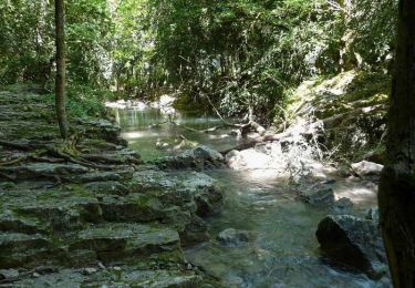
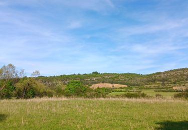
La Nesque prend sa source à Aurel sur le flanc du Mont Ventoux.
Elle se jette dans la Sorgue peu avant Avignon.
Le nom de Nesque dérive d'Annesca divinité romaine representée par une femme porteuse d'eau et d'épis de blé; symbole de vie richesse et abondance.
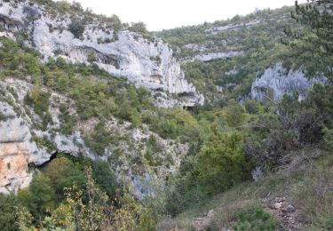
La Nesque alimente le système karstique de Fontaine du Vaucluse.
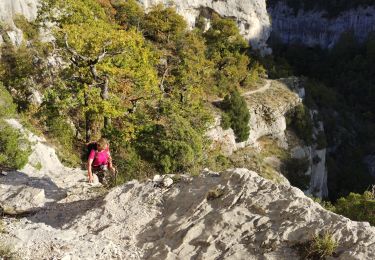
De nombreux abris sous roche sont visibles dans les falaises. Ces abris sont dénommés en Provence des baus (baous) ou baumes.
L'une d'elle est devenue célèbre après la découverte d'un campement du Néandertal (baume d'aubusier).
Stappen
Stappen
Stappen
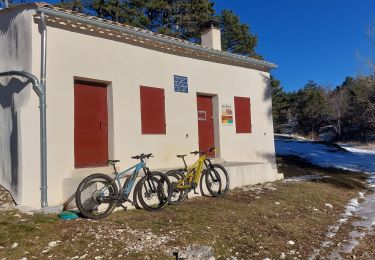
Mountainbike
Stappen
Stappen
Stappen
Stappen
Stappen