


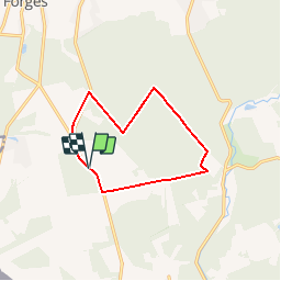

9,5 km | 12,1 km-effort


Gebruiker


Gratisgps-wandelapplicatie
 SityTrail
IGN / Geografische instituten
SityTrail World
De wereld gaat voor u open
Tocht Noords wandelen van 9,8 km beschikbaar op Wallonië, Henegouwen, Chimay. Deze tocht wordt voorgesteld door Bilboquet.
Vers les sources de l'Oise (2 sources principales), affluent de la Seine. Voir près de la Ferme de la Haute Grange (1796) la chapelle dédiée à Sainte-Rolende.

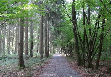
Stappen
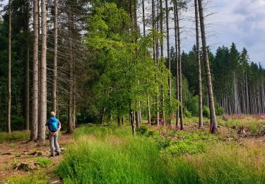
Stappen
Stappen
Stappen
Stappen
Stappen
Stappen

Stappen
Stappen
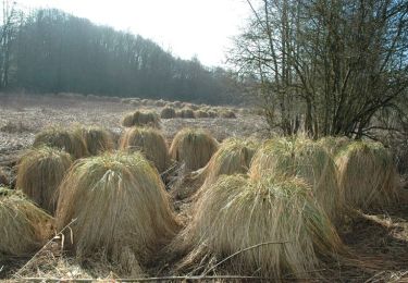
poteau pré