


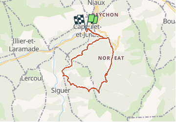

10,8 km | 24 km-effort

Gebruiker

Gratisgps-wandelapplicatie
 SityTrail
IGN / Geografische instituten
SityTrail World
De wereld gaat voor u open
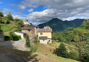
Tocht Stappen van 17,3 km beschikbaar op Occitanië, Ariège, Capoulet-et-Junac. Deze tocht wordt voorgesteld door c.chehere.
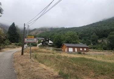
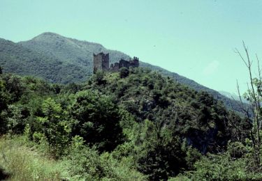
Départ depuis Capoulet. Sans problème juste la montée au col de Gamel à partir de Norgeat très raide.
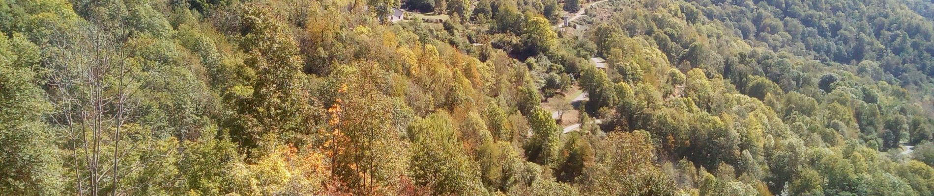
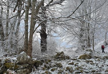
Attention la partie de sentier dans la bois de Nayan complètement envahi par la végétation.
Balisage dans les autres parties correct (jaune et GR)


Stappen
Elektrische fiets
Elektrische fiets
Te voet
Te voet

Te voet

Stappen
Stappen
Stappen