


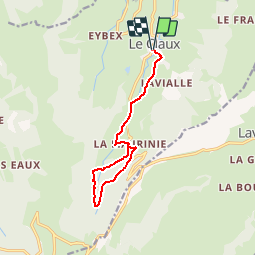

11,2 km | 21 km-effort


Gebruiker


Gratisgps-wandelapplicatie
 SityTrail
IGN / Geografische instituten
SityTrail World
De wereld gaat voor u open
Tocht Mountainbike van 12,3 km beschikbaar op Auvergne-Rhône-Alpes, Cantal, Le Claux. Deze tocht wordt voorgesteld door sebcar.
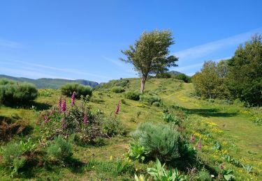
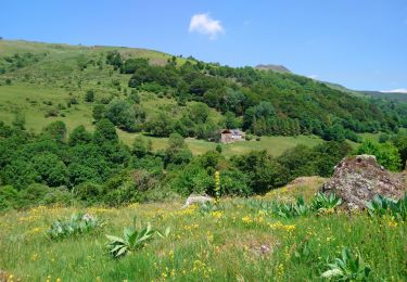
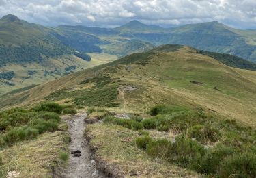
Entre le Suc de la Blatte, le Bois Mary ce sentier offre une agréable randonnée au fond de la vallée de la Petite Rhue

Stappen

Te voet

Te voet

Te voet

Te voet
Stappen
Stappen

Stappen
Stappen