


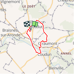

11,5 km | 14,3 km-effort


Gebruiker


Gratisgps-wandelapplicatie
 SityTrail
IGN / Geografische instituten
SityTrail World
De wereld gaat voor u open
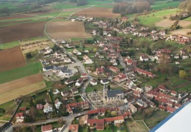
Tocht Stappen van 8,3 km beschikbaar op Hauts-de-France, Oise, Villers-sur-Coudun. Deze tocht wordt voorgesteld door fitz2014.

Stappen
Stappen
Te voet
Stappen
Stappen
Stappen
Stappen
Mountainbike
Stappen
problème dans le circuit