


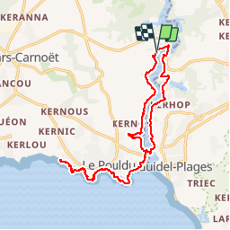

14,7 km | 17,9 km-effort

Gebruiker


Gratisgps-wandelapplicatie
 SityTrail
IGN / Geografische instituten
SityTrail World
De wereld gaat voor u open
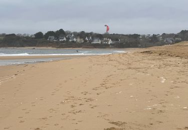
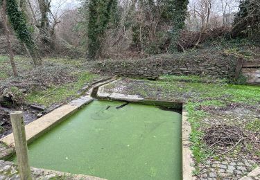
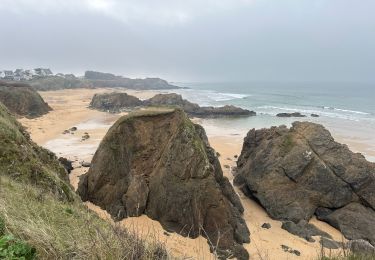
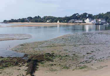
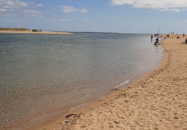
Tocht Stappen van 18,7 km beschikbaar op Bretagne, Finistère, Clohars-Carnoët. Deze tocht wordt voorgesteld door ilur56.
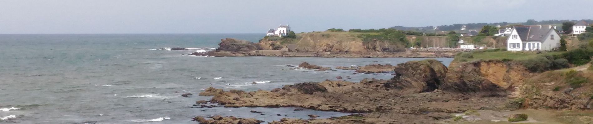
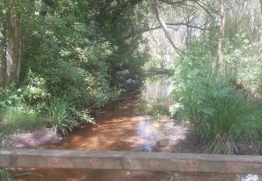
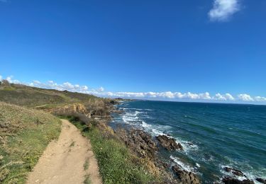
Boucle du Pont Saint Maurice au sentier des peintres sur la commune du Pouldu, passage vers Guidel avec la navette maritime et remontée vers le pont Saint Maurice


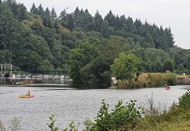
Stappen
Stappen
Stappen
Stappen
Stappen
Elektrische fiets
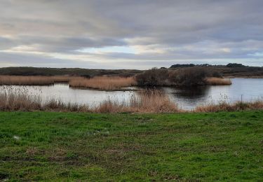
Stappen