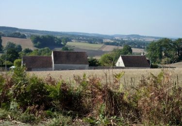
8 km | 10,3 km-effort
8449213-ZCoudray au Perche 14.50
togolo28
Gebruiker
Lengte
14,5 km
Max. hoogte
273 m
Positief hoogteverschil
247 m
Km-Effort
17,8 km
Min. hoogte
153 m
Negatief hoogteverschil
248 m
Boucle
Ja
Datum van aanmaak :
2018-04-27 11:47:11.309
Laatste wijziging :
2018-04-27 11:48:12.115
--
Moeilijkheid : Gemakkelijk
Gratisgps-wandelapplicatie
Over ons
Tocht Stappen van 14,5 km beschikbaar op Centre-Val de Loire, Eure-et-Loir, Coudray-au-Perche. Deze tocht wordt voorgesteld door togolo28.
Plaatsbepaling
Land:
France
Regio :
Centre-Val de Loire
Departement/Provincie :
Eure-et-Loir
Gemeente :
Coudray-au-Perche
Locatie:
Unknown
Vertrek:(Dec)
Vertrek:(UTM)
340732 ; 5344324 (31U) N.
Opmerkingen
Wandeltochten in de omgeving
Vichères - la colline de Rougemont 8 km
Stappen
Medium
Vichères,
Centre-Val de Loire,
Eure-et-Loir,
France
2h 20min
Ja
Les terres douces - Authon-du-Perche
Paard
Moeilijk
(1)
Authon-du-Perche,
Centre-Val de Loire,
Eure-et-Loir,
France
22 km | 26 km-effort
3h 30min
Ja
Vichères à Rougement 9,3 km
Stappen
Medium
Vichères,
Centre-Val de Loire,
Eure-et-Loir,
France
9,3 km | 11,6 km-effort
2h 38min
Ja
[Itinéraire] Les terres douces
Mountainbike
Medium
Authon-du-Perche,
Centre-Val de Loire,
Eure-et-Loir,
France
23 km | 26 km-effort
1h 49min
Ja
[Itinéraire] Saint-Lubin-des-Cinq-Fonts
Stappen
Zeer moeilijk
Authon-du-Perche,
Centre-Val de Loire,
Eure-et-Loir,
France
15,8 km | 19,3 km-effort
4h 23min
Ja
Vichères Phm
Stappen
Medium
Vichères,
Centre-Val de Loire,
Eure-et-Loir,
France
9,1 km | 11,9 km-effort
2h 41min
Ja
Les Etilleux 5.7 Km
Stappen
Heel gemakkelijk
Les Étilleux,
Centre-Val de Loire,
Eure-et-Loir,
France
5,7 km | 7,3 km-effort
1h 33min
Ja
Vichères 7.8 Km
Stappen
Gemakkelijk
Vichères,
Centre-Val de Loire,
Eure-et-Loir,
France
7,8 km | 10,1 km-effort
2h 15min
Ja
Vichère
Stappen
Medium
Vichères,
Centre-Val de Loire,
Eure-et-Loir,
France
10,3 km | 13,1 km-effort
2h 18min
Ja