


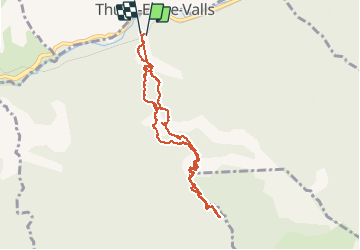


7,2 km | 15,3 km-effort

Gebruiker


Gratisgps-wandelapplicatie
 SityTrail
IGN / Geografische instituten
SityTrail World
De wereld gaat voor u open
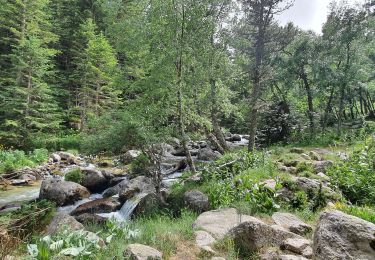
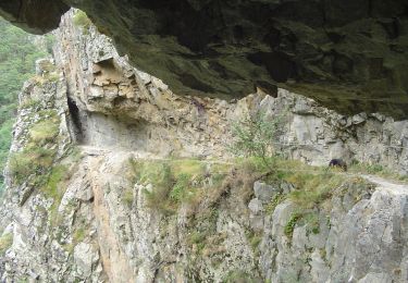
Tocht Stappen van 11,1 km beschikbaar op Occitanië, Pyrénées-Orientales, Thuès-Entre-Valls. Deze tocht wordt voorgesteld door phi14.


Stappen

Stappen

Stappen

Stappen
Stappen

Stappen
Stappen
Stappen
Te voet