


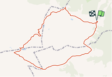

3,8 km | 7,5 km-effort


Gebruiker


Gratisgps-wandelapplicatie
 SityTrail
IGN / Geografische instituten
SityTrail World
De wereld gaat voor u open
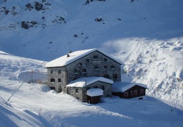
Tocht Andere activiteiten van 11,3 km beschikbaar op Sankt Gallen, Wahlkreis Sarganserland, Bad Ragaz. Deze tocht wordt voorgesteld door denisewanderige.
Details (Wanderbeschrieb, Fotos, Dauer, Links, usw.) siehe unter:
http://www.wanderige.ch/wanderige_toure/2006/pizol/pizol.htm
Te voet
Te voet
Te voet

Te voet
Te voet

Andere activiteiten

Stappen
Te voet
Te voet