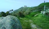

Balade hivernale canton des Pieux - Diélette

tracegps
Gebruiker

Lengte
25 km

Max. hoogte
129 m

Positief hoogteverschil
377 m

Km-Effort
30 km

Min. hoogte
1 m

Negatief hoogteverschil
375 m
Boucle
Ja
Datum van aanmaak :
2016-03-09 00:00:00.0
Laatste wijziging :
2016-03-09 00:00:00.0
1h45
Moeilijkheid : Medium

Gratisgps-wandelapplicatie
Over ons
Tocht Mountainbike van 25 km beschikbaar op Normandië, Manche, Tréauville. Deze tocht wordt voorgesteld door tracegps.
Beschrijving
Un parcours qui limite les chasses boueuses, je n’aime pas la boue... Bref, un parcours de remise en forme. Bien sûr, il y a plein de variantes à partir de ce tracé et ça se fait trankilou en 1h45. Amusez vous bien !
Plaatsbepaling
Land:
France
Regio :
Normandië
Departement/Provincie :
Manche
Gemeente :
Tréauville
Locatie:
Unknown
Vertrek:(Dec)
Vertrek:(UTM)
582644 ; 5489585 (30U) N.
Opmerkingen
Wandeltochten in de omgeving
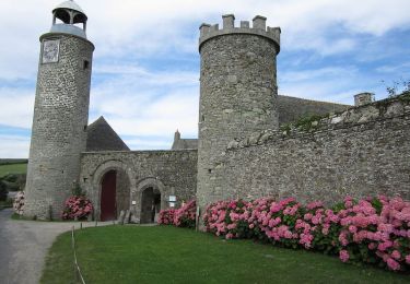
Entre terre et mer - Les Pieux


Stappen
Medium
(2)
Les Pieux,
Normandië,
Manche,
France

23 km | 28 km-effort
6h 0min
Ja

ioupi biville 01


Stappen
Gemakkelijk
(1)
La Hague,
Normandië,
Manche,
France

9,5 km | 11,3 km-effort
2h 11min
Ja
Béquille - blockhaus-plage Dielette port et retour


Stappen
Gemakkelijk
Héauville,
Normandië,
Manche,
France

11,8 km | 13,5 km-effort
3h 10min
Neen
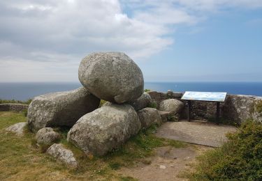
Tour du cap de Flamanville


Stappen
Moeilijk
Flamanville,
Normandië,
Manche,
France

11,5 km | 14,6 km-effort
4h 0min
Ja
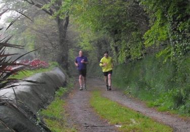
Rando des Caps 2013 - 65 km - Flamanville


Mountainbike
Moeilijk
Flamanville,
Normandië,
Manche,
France

60 km | 73 km-effort
3h 30min
Ja
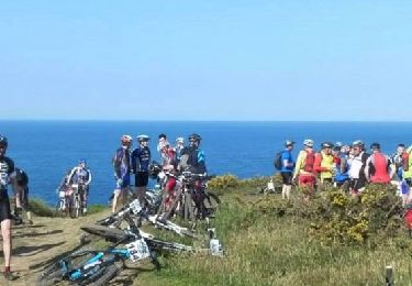
Rando des Caps 2013 - Flamanville


Mountainbike
Moeilijk
Flamanville,
Normandië,
Manche,
France

41 km | 48 km-effort
2h 45min
Ja
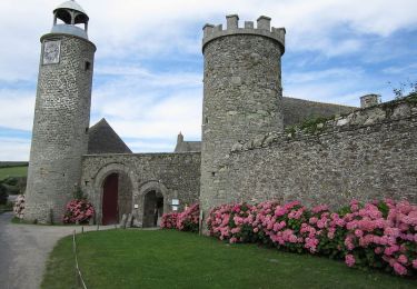
Entre terre et mer - Les Pieux


Lopen
Moeilijk
Les Pieux,
Normandië,
Manche,
France

23 km | 28 km-effort
3h 0min
Ja

21 Aout Flamanville plage du sciotot boucle terre et mer


Stappen
Zeer moeilijk
Flamanville,
Normandië,
Manche,
France

22 km | 27 km-effort
5h 26min
Ja


 SityTrail


