


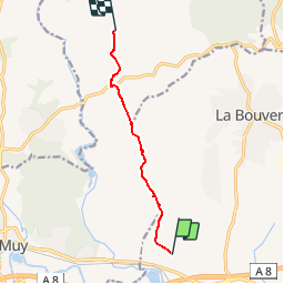

14,4 km | 20 km-effort

Gebruiker


Gratisgps-wandelapplicatie
 SityTrail
IGN / Geografische instituten
SityTrail World
De wereld gaat voor u open
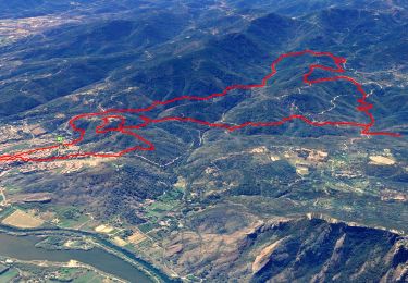
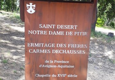
Tocht Mountainbike van 8 km beschikbaar op Provence-Alpes-Côte d'Azur, Var, Roquebrune-sur-Argens. Deze tocht wordt voorgesteld door barberou.
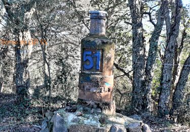
Super parcours avec enfant en initiation VTT. Nous sommes pas allés au bout cause casse chaîne...mais reviendra.


Stappen

Stappen

Stappen

Stappen

Stappen
Stappen
Stappen

Te voet
Stappen