


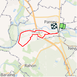

11,1 km | 11,6 km-effort


Gebruiker


Gratisgps-wandelapplicatie
 SityTrail
IGN / Geografische instituten
SityTrail World
De wereld gaat voor u open
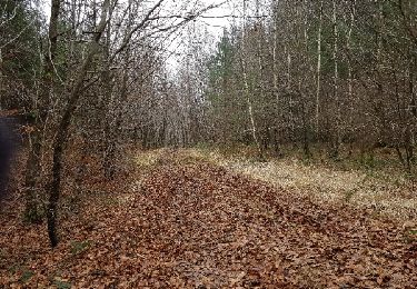
Tocht Noords wandelen van 9,4 km beschikbaar op Bourgondië-Franche-Comté, Jura, Parcey. Deze tocht wordt voorgesteld door albert39.
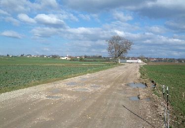
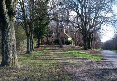
Circuit plat et facile. Départ parking du resto de la plage. Variante par la Fontaine aux Cannes et le pont d''autoroute puis le chemin de la plage.

Stappen
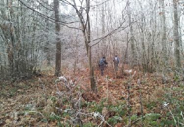
Noords wandelen
Noords wandelen
Stappen
Stappen
Stappen
Stappen
Stappen
Noords wandelen