


8,9 km | 10,4 km-effort

Gebruiker


Gratisgps-wandelapplicatie
 SityTrail
IGN / Geografische instituten
SityTrail World
De wereld gaat voor u open
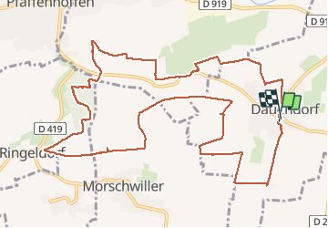
Tocht Stappen van 14,3 km beschikbaar op Grand Est, Bas-Rhin, Dauendorf. Deze tocht wordt voorgesteld door VacheKiri67.
Distance 14,3km - Dénivelée 300m. Balisage : partiellement anneau jaune - anneau rouge - anneau jaune. Faite le 04/05/2013 en 5h10 (dont 0h55 de pause) avec notre fils de 8 ans. D'après : Randonnées et histoires N°10 page 77 : Sur les collines du Val de Moder.
Attention le balisage est parfois incomplet et les chemins sont boueux par temps de pluie.


26 fotos in totaal. Klik op een foto om ze allemaal in de galerij weer te geven.
Te voet
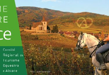
Paardrijden
Paardrijden

Paardrijden

Paardrijden

Paardrijden

Paardrijden

Paard

Uberach
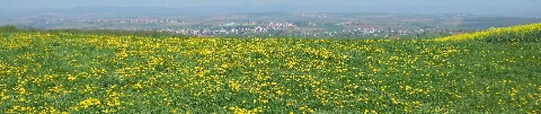
Une magnifique randonnée champêtre ! A faire absolument au printemps par beau soleil lorsque les pissenlits, pâquerettes, colza et arbres fruitiers sont en fleurs. La variété est au rendez-vous : collines, panoramas, prairies, chapelles, forêt, aires de pique-nique... Par contre à éviter par temps de pluie car les sentiers sont vite très boueux.