


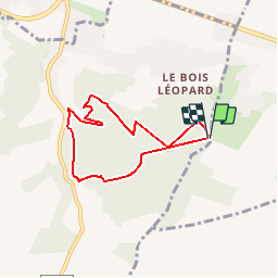


10,5 km | 13,8 km-effort

Gebruiker


Gratisgps-wandelapplicatie
 SityTrail
IGN / Geografische instituten
SityTrail World
De wereld gaat voor u open
Tocht Stappen van 5,8 km beschikbaar op Normandië, Eure, Saint-Aubin-sur-Gaillon. Deze tocht wordt voorgesteld door douneto.
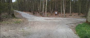
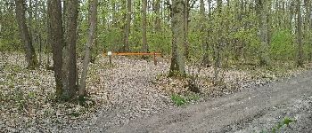
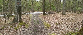
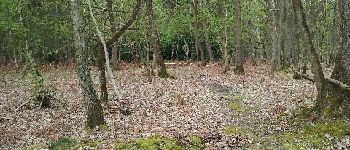
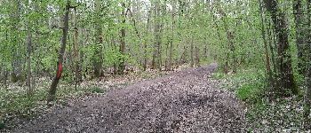
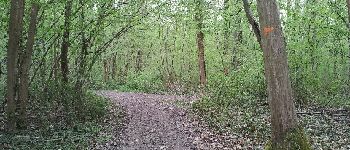
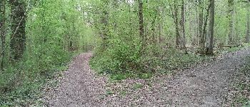
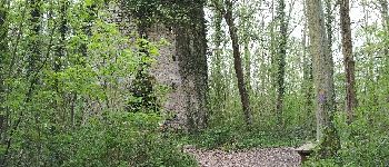
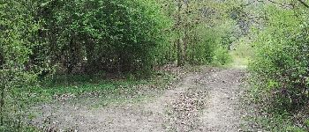
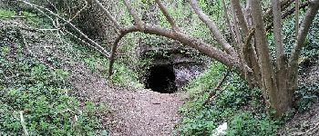
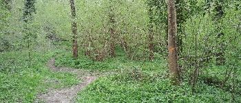
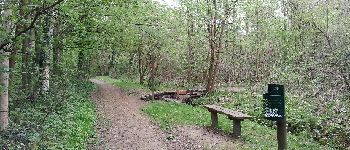
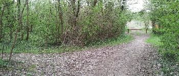
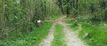
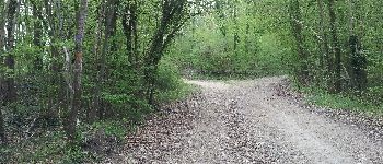
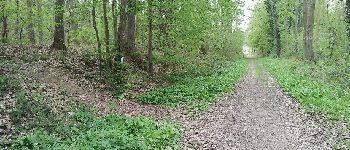
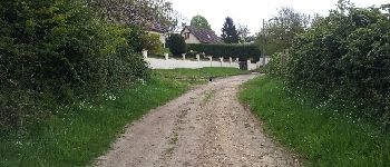
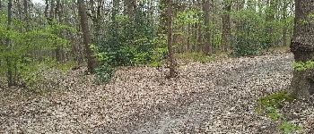
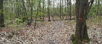
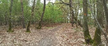
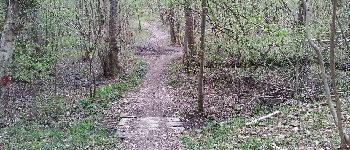
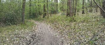
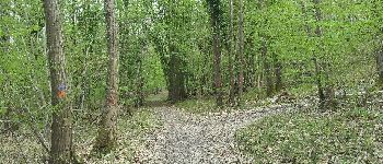
Forêt bien entretenue , balisages bien indiqués


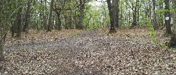
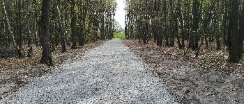
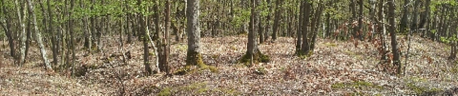
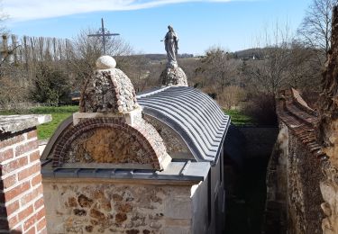
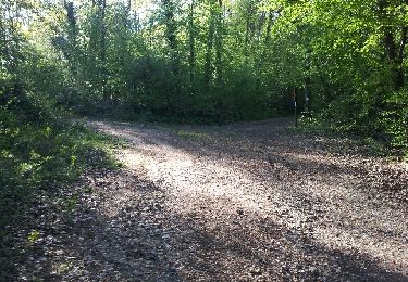
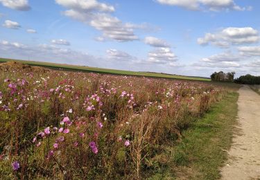
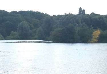
30 fotos in totaal. Klik op een foto om ze allemaal in de galerij weer te geven.

Stappen
Stappen

Stappen
Stappen
Stappen
Andere activiteiten

Stappen
Stappen
Stappen