


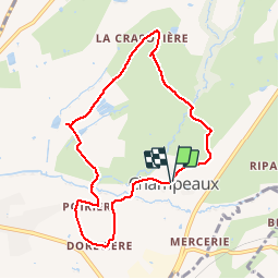

22 km | 27 km-effort

Gebruiker


Gratisgps-wandelapplicatie
 SityTrail
IGN / Geografische instituten
SityTrail World
De wereld gaat voor u open
Tocht Stappen van 8,1 km beschikbaar op Nieuw-Aquitanië, Deux-Sèvres, Champdeniers. Deze tocht wordt voorgesteld door olaze.
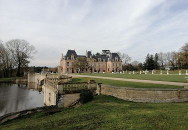
Agréable promenade autour de Champeaux. Valloné.
Club rando ATSCAF79 2013


Paardrijden
Paardrijden
Stappen
Stappen
Stappen


sport

Quad
Quad

Stappen