


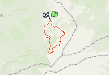

5,4 km | 9,8 km-effort
![Tocht Andere activiteiten Montreux - Dent de Jaman [loop/boucle/Rundwand.] - Photo](https://media.geolcdn.com/t/1900/400/ext.pjpeg?maxdim=2&url=https%3A%2F%2Fstatic1.geolcdn.com%2Fsiteimages%2Fupload%2Ffiles%2F1545311037marcheuse_200dpi.jpg)

Gebruiker


Gratisgps-wandelapplicatie
 SityTrail
IGN / Geografische instituten
SityTrail World
De wereld gaat voor u open
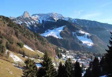
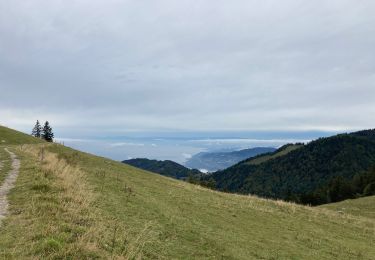
Tocht Andere activiteiten van 4,9 km beschikbaar op Waadland, District de la Riviera-Pays-d’Enhaut, Montreux. Deze tocht wordt voorgesteld door pnoth.
English: http://www.noth.ch/h0402_e.html
Français: http://www.noth.ch/h0402_f.html
Deutsch: http://www.noth.ch/h0402_d.html
Te voet
Stappen

Stappen
Stappen
Stappen

Te voet

Lopen
Stappen
Stappen