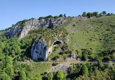
23 km | 32 km-effort
Jour 5
Rango
Gebruiker
Lengte
7,8 km
Max. hoogte
738 m
Positief hoogteverschil
317 m
Km-Effort
12,4 km
Min. hoogte
457 m
Negatief hoogteverschil
430 m
Boucle
Neen
Datum van aanmaak :
2014-12-10 00:00:00.0
Laatste wijziging :
2014-12-10 00:00:00.0
2h34
Moeilijkheid : Gemakkelijk
Gratisgps-wandelapplicatie
Over ons
Tocht Stappen van 7,8 km beschikbaar op Occitanië, Hautes-Pyrénées, Labastide. Deze tocht wordt voorgesteld door Rango.
Plaatsbepaling
Land:
France
Regio :
Occitanië
Departement/Provincie :
Hautes-Pyrénées
Gemeente :
Labastide
Locatie:
Unknown
Vertrek:(Dec)
Vertrek:(UTM)
285128 ; 4768356 (31T) N.
Opmerkingen
Wandeltochten in de omgeving
FEU 2015 - Etape 3
Stappen
Gemakkelijk
(3)
Esparros,
Occitanië,
Hautes-Pyrénées,
France
6h 45min
Neen
FEU 2015 - Etape 2
Stappen
Gemakkelijk
(1)
Lortet,
Occitanië,
Hautes-Pyrénées,
France
7,8 km | 12,5 km-effort
2h 34min
Neen
Pacte des loups
Stappen
Medium
(2)
Esparros,
Occitanië,
Hautes-Pyrénées,
France
10,9 km | 18 km-effort
Onbekend
Ja
REBOUC sortie commune LPC trace revue et corrigée "3822705"
Stappen
Medium
Hèches,
Occitanië,
Hautes-Pyrénées,
France
6,1 km | 8,5 km-effort
1h 55min
Ja
Voie d'Aure
Te voet
Zeer moeilijk
Lortet,
Occitanië,
Hautes-Pyrénées,
France
56 km | 87 km-effort
19h 50min
Neen
Rebouc G4
Stappen
Heel gemakkelijk
Hèches,
Occitanië,
Hautes-Pyrénées,
France
4,4 km | 5,9 km-effort
1h 10min
Ja
Pacte des loups
Stappen
Medium
Esparros,
Occitanië,
Hautes-Pyrénées,
France
7,8 km | 13,3 km-effort
5h 27min
Ja
Signal de Nassia depuis le Pla de Moula après Esparros
Stappen
Moeilijk
Esparros,
Occitanië,
Hautes-Pyrénées,
France
16,1 km | 32 km-effort
4h 36min
Ja
SityTrail - 3277726 - rebouc-les-landes-de-rebouc-x-g3-x--3277726
Stappen
Moeilijk
Hèches,
Occitanië,
Hautes-Pyrénées,
France
8,5 km | 14,1 km-effort
3h 12min
Ja