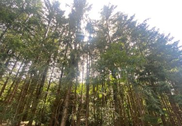
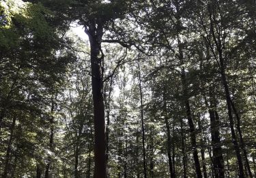
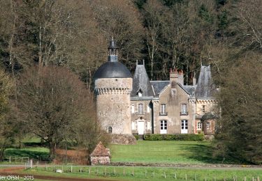
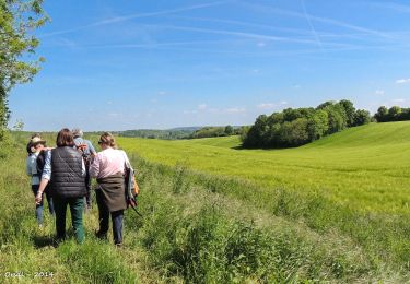
11,1 km | 13,8 km-effort
Montgaudry / Contilly 9,3 Km
ODDAD78
Gebruiker
Lengte
9,3 km
Max. hoogte
206 m
Positief hoogteverschil
148 m
Km-Effort
11,2 km
Min. hoogte
138 m
Negatief hoogteverschil
147 m
Boucle
Ja
Datum van aanmaak :
2019-04-13 16:36:26.364
Laatste wijziging :
2019-04-13 16:36:26.399
2h27
Moeilijkheid : Gemakkelijk
Gratisgps-wandelapplicatie
Over ons
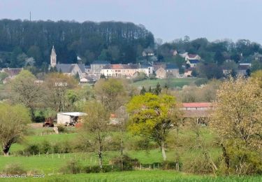
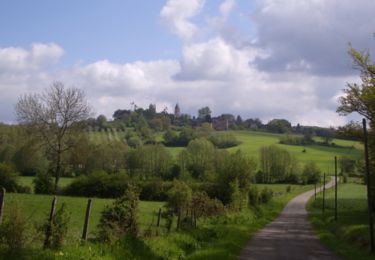
Tocht Stappen van 9,3 km beschikbaar op Normandië, Orne, Montgaudry. Deze tocht wordt voorgesteld door ODDAD78.
Beschrijving
Départ : Eglise de Montgaudry
Plaatsbepaling
Land:
France
Regio :
Normandië
Departement/Provincie :
Orne
Gemeente :
Montgaudry
Locatie:
Unknown
Vertrek:(Dec)
Vertrek:(UTM)
307734 ; 5364753 (31U) N.
Opmerkingen
Wandeltochten in de omgeving
La Perrière, forêt et village
Stappen
Moeilijk
Belforêt-en-Perche,
Normandië,
Orne,
France
3h 8min
Ja
[Itinéraire] Le chêne de La Lambonnière
Stappen
Medium
(1)
Pervenchères,
Normandië,
Orne,
France
8,7 km | 9,8 km-effort
2h 14min
Ja
le chêne de l'école
Stappen
Heel gemakkelijk
Belforêt-en-Perche,
Normandië,
Orne,
France
15,7 km | 19,7 km-effort
6h 47min
Ja
La Perrière - Saint-Germain-de-la-Coudre via Bellême (TCP) 28 km
Stappen
Medium
Belforêt-en-Perche,
Normandië,
Orne,
France
28 km | 35 km-effort
7h 16min
Neen
La Perrière - Saint-Germain-de-la-Coudre via Igé (TCP) 27 km
Stappen
Gemakkelijk
Belforêt-en-Perche,
Normandië,
Orne,
France
27 km | 33 km-effort
7h 2min
Neen
La Perrière - Mortagne-au-Perche (TCP) 29 km
Stappen
Moeilijk
Belforêt-en-Perche,
Normandië,
Orne,
France
29 km | 34 km-effort
7h 18min
Neen
La Perrière : village millénaire
Stappen
Medium
Belforêt-en-Perche,
Normandië,
Orne,
France
11,1 km | 14 km-effort
3h 0min
Ja
la perrière par la forêt
Stappen
Medium
Belforêt-en-Perche,
Normandië,
Orne,
France
5,6 km | 7,6 km-effort
1h 45min
Ja
fourneaux gr jusqu'au ruisseau
Stappen
Medium
Belforêt-en-Perche,
Normandië,
Orne,
France
5 km | 6,7 km-effort
1h 15min
Ja