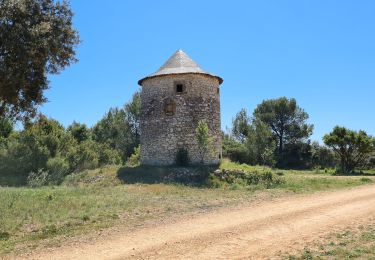
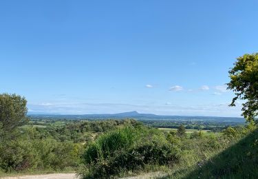
14,4 km | 16,3 km-effort
Fons 2
CAMBON
Gebruiker
Lengte
12,8 km
Max. hoogte
284 m
Positief hoogteverschil
272 m
Km-Effort
16,4 km
Min. hoogte
110 m
Negatief hoogteverschil
272 m
Boucle
Ja
Datum van aanmaak :
2014-12-10 00:00:00.0
Laatste wijziging :
2014-12-10 00:00:00.0
3h32
Moeilijkheid : Medium
Gratisgps-wandelapplicatie
Over ons
Tocht Stappen van 12,8 km beschikbaar op Occitanië, Gard, Fons. Deze tocht wordt voorgesteld door CAMBON.
Plaatsbepaling
Land:
France
Regio :
Occitanië
Departement/Provincie :
Gard
Gemeente :
Fons
Locatie:
Unknown
Vertrek:(Dec)
Vertrek:(UTM)
596066 ; 4862358 (31T) N.
Opmerkingen
Wandeltochten in de omgeving
Plan Rougé2
Stappen
Gemakkelijk
(1)
Gajan,
Occitanië,
Gard,
France
10,9 km | 13,4 km-effort
2h 53min
Ja
Mas des Crottes
Stappen
Gemakkelijk
(1)
Gajan,
Occitanië,
Gard,
France
13,1 km | 15,7 km-effort
3h 34min
Ja
La Rouveyrolle 2
Stappen
Medium
(1)
Gajan,
Occitanië,
Gard,
France
12,5 km | 15,2 km-effort
2h 37min
Ja
Parignargues_stmamert-Fons-Gajan
Stappen
Medium
Parignargues,
Occitanië,
Gard,
France
16,4 km | 18,6 km-effort
5h 19min
Ja
GAJAN / FONS / ST MAMERT / GAJAN
Stappen
Medium
Gajan,
Occitanië,
Gard,
France
9,9 km | 11,6 km-effort
2h 36min
Ja
Bien.Mais arrivé près de la carrière pas moyen de passer.