

Tour des Monts d'Aubrac 4

randotines
Gebruiker GUIDE

Lengte
22 km

Max. hoogte
1422 m

Positief hoogteverschil
405 m

Km-Effort
28 km

Min. hoogte
1180 m

Negatief hoogteverschil
551 m
Boucle
Neen
Datum van aanmaak :
2014-12-10 00:00:00.0
Laatste wijziging :
2014-12-10 00:00:00.0
5h52
Moeilijkheid : Medium

Gratisgps-wandelapplicatie
Over ons
Tocht Stappen van 22 km beschikbaar op Occitanië, Lozère, Les Salces. Deze tocht wordt voorgesteld door randotines.
Beschrijving
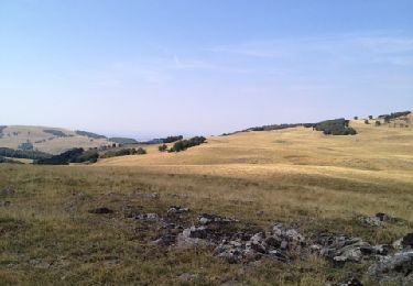
4ème étape : Buron de Rajas - Nasbinals, bien suivre la trace GPS dans la prairie puis arrêt pour visiter le buron de Cammejane en activité, étape la plus longue mais sans difficultés.
Plaatsbepaling
Land:
France
Regio :
Occitanië
Departement/Provincie :
Lozère
Gemeente :
Les Salces
Locatie:
Unknown
Vertrek:(Dec)
Vertrek:(UTM)
507427 ; 4935885 (31T) N.
Opmerkingen
Wandeltochten in de omgeving
Les Vergnes Mailhebiau Tourbière


Stappen
Gemakkelijk
Saint Geniez d'Olt et d'Aubrac,
Occitanië,
Aveyron,
France

18,4 km | 24 km-effort
4h 52min
Ja
Croix de Rodes Lac de Bonnecombe Signal de Mailhebiau


Stappen
Gemakkelijk
Saint Geniez d'Olt et d'Aubrac,
Occitanië,
Aveyron,
France

19,9 km | 26 km-effort
5h 55min
Ja
Rando Lozère.. Rajas..Malailhebiai.


Stappen
Zeer moeilijk
Les Hermaux,
Occitanië,
Lozère,
France

20 km | 26 km-effort
4h 4min
Ja
Montorzier Croix de Vaysse Croix de Rodes


Stappen
Gemakkelijk
Nasbinals,
Occitanië,
Lozère,
France

15,4 km | 19,6 km-effort
4h 13min
Ja
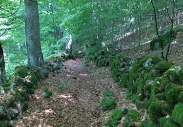
rajas st chely


Stappen
Medium
Les Salces,
Occitanië,
Lozère,
France

19,4 km | 24 km-effort
7h 27min
Neen
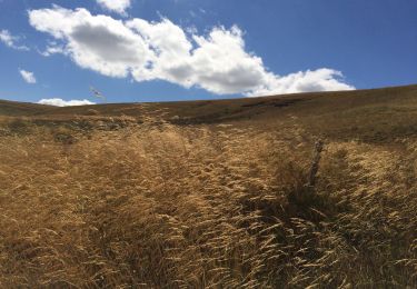
Autour de maillebiau bonnecombes rajas


Stappen
Medium
Les Salces,
Occitanië,
Lozère,
France

17,1 km | 22 km-effort
4h 23min
Ja
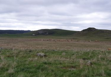
cap combattut


Stappen
Gemakkelijk
Marchastel,
Occitanië,
Lozère,
France

7,2 km | 8,7 km-effort
2h 50min
Neen
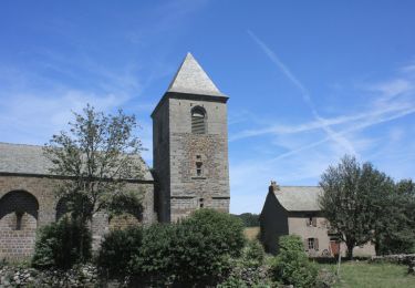
Tour des Monts d'Aubrac - Du refuge des Rajas à Nasbinals


Stappen
Medium
Les Salces,
Occitanië,
Lozère,
France

22 km | 28 km-effort
5h 30min
Neen
Signal de Mailhebiau


Stappen
Medium
Les Hermaux,
Occitanië,
Lozère,
France

21 km | 27 km-effort
4h 45min
Ja


 SityTrail


