


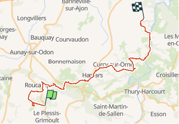


2756 km | 3635 km-effort

Gebruiker


Gratisgps-wandelapplicatie
 SityTrail
IGN / Geografische instituten
SityTrail World
De wereld gaat voor u open
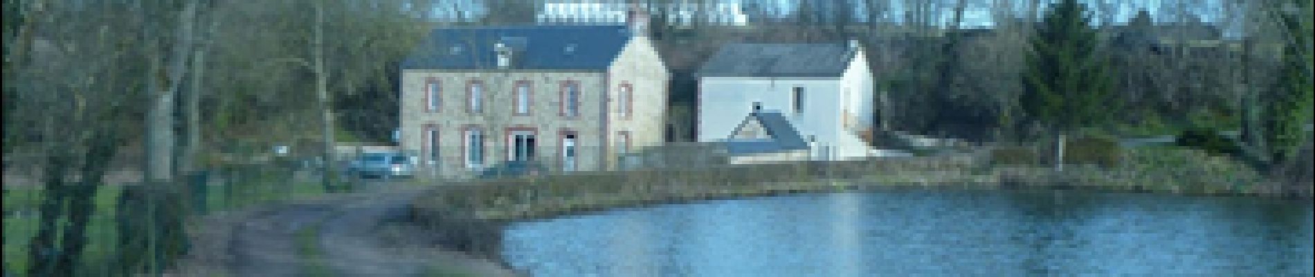
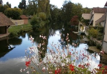
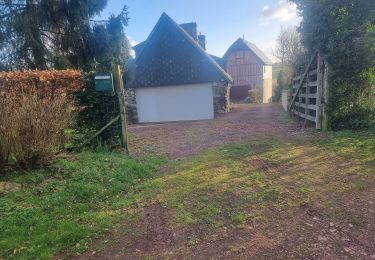
Tocht Stappen van 29 km beschikbaar op Normandië, Calvados, Les Monts d'Aunay. Deze tocht wordt voorgesteld door albers.
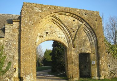
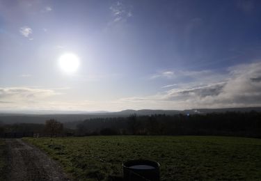
belle randonnée avec beaucoup de descente en partant du Mt pinçon.
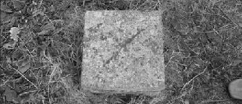
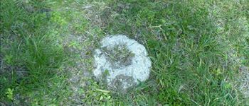
ne pas tenir compte de la petite boucle du départ c''était pour trouver la balise de sommet 363m et oui petit sommet mais sommet!!! de la Normandie.


Mountainbike
Stappen
Te voet

Stappen

Te voet
Te voet
Te voet
Te voet