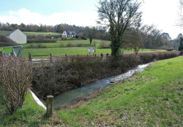
18,2 km | 22 km-effort
MJW 4-2
hubbi
Gebruiker
Lengte
21 km
Max. hoogte
346 m
Positief hoogteverschil
194 m
Km-Effort
23 km
Min. hoogte
278 m
Negatief hoogteverschil
187 m
Boucle
Neen
Datum van aanmaak :
2014-12-10 00:00:00.0
Laatste wijziging :
2014-12-10 00:00:00.0
5h08
Moeilijkheid : Heel gemakkelijk
Gratisgps-wandelapplicatie
Over ons
Tocht Stappen van 21 km beschikbaar op Grand Est, Meurthe-et-Moselle, Allain. Deze tocht wordt voorgesteld door hubbi.
Beschrijving
Allain - Soulosse-sous-Saint-Élophe
Plaatsbepaling
Land:
France
Regio :
Grand Est
Departement/Provincie :
Meurthe-et-Moselle
Gemeente :
Allain
Locatie:
Unknown
Vertrek:(Dec)
Vertrek:(UTM)
714433 ; 5380690 (31U) N.
Opmerkingen
Wandeltochten in de omgeving
Circuit de la Vallée des Prés
Te voet
Medium
Thuilley-aux-Groseilles,
Grand Est,
Meurthe-et-Moselle,
France
4h 57min
Neen
BULLIGNY - LE BOIS BRULE
Stappen
Gemakkelijk
Bulligny,
Grand Est,
Meurthe-et-Moselle,
France
8,8 km | 11,4 km-effort
4h 11min
Ja
2017 07 25 les 3 deuilles Ochey bis
Lopen
Heel gemakkelijk
Ochey,
Grand Est,
Meurthe-et-Moselle,
France
19,2 km | 23 km-effort
2h 42min
Ja
Entre Allain et Ochey
Stappen
Medium
Allain,
Grand Est,
Meurthe-et-Moselle,
France
13,9 km | 16,3 km-effort
3h 7min
Ja
la deuille résurgences départ ochey
Stappen
Gemakkelijk
(1)
Crézilles,
Grand Est,
Meurthe-et-Moselle,
France
6 km | 7 km-effort
1h 43min
Ja
selaincourt
Stappen
Moeilijk
Crépey,
Grand Est,
Meurthe-et-Moselle,
France
11,4 km | 13,9 km-effort
3h 6min
Ja
1234
Stappen
Medium
Crépey,
Grand Est,
Meurthe-et-Moselle,
France
7,9 km | 8,8 km-effort
1h 48min
Neen
vau des aines
Trail
Heel gemakkelijk
Ochey,
Grand Est,
Meurthe-et-Moselle,
France
7,3 km | 8,9 km-effort
1h 17min
Ja
Thuilley aux Groseilles
Stappen
Moeilijk
Thuilley-aux-Groseilles,
Grand Est,
Meurthe-et-Moselle,
France
18,4 km | 22 km-effort
4h 48min
Ja