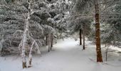

Circuit botanique de Laguiole

tracegps
Gebruiker

Lengte
3,5 km

Max. hoogte
1339 m

Positief hoogteverschil
57 m

Km-Effort
4,2 km

Min. hoogte
1285 m

Negatief hoogteverschil
56 m
Boucle
Ja
Datum van aanmaak :
2014-12-10 00:00:00.0
Laatste wijziging :
2014-12-10 00:00:00.0
1h30
Moeilijkheid : Medium

Gratisgps-wandelapplicatie
Over ons
Tocht Stappen van 3,5 km beschikbaar op Occitanië, Aveyron, Laguiole. Deze tocht wordt voorgesteld door tracegps.
Beschrijving
Le circuit botanique de Laguiole est un circuit pédestre très facile sur le plateau de l'Aubrac. Le parcours est bien indiqué et le sentier est facile à suivre même en hiver avec la neige. Vous pourrez trouver une description plus précise sur randozone.com.
Plaatsbepaling
Land:
France
Regio :
Occitanië
Departement/Provincie :
Aveyron
Gemeente :
Laguiole
Locatie:
Unknown
Vertrek:(Dec)
Vertrek:(UTM)
494136 ; 4947750 (31T) N.
Opmerkingen
Wandeltochten in de omgeving
Le Devez cascade et forêts


Stappen
Gemakkelijk
(1)
Curières,
Occitanië,
Aveyron,
France

11 km | 15,4 km-effort
3h 22min
Ja

Laguiole - Station de ski


Stappen
Medium
(1)
Laguiole,
Occitanië,
Aveyron,
France

7,1 km | 9,5 km-effort
1h 50min
Ja
Vergne noire


Stappen
Heel gemakkelijk
Laguiole,
Occitanië,
Aveyron,
France

8,6 km | 10,7 km-effort
2h 19min
Ja
Truques d’Aubrac Pas de Mathieu


Stappen
Heel gemakkelijk
Curières,
Occitanië,
Aveyron,
France

9,6 km | 12,2 km-effort
2h 44min
Ja
Carbonade Croix de Goutal


Stappen
Heel gemakkelijk
Saint-Urcize,
Auvergne-Rhône-Alpes,
Cantal,
France

9,5 km | 12,4 km-effort
2h 37min
Ja
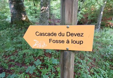
Cascade du devèz et fosse à loup


Stappen
Moeilijk
Curières,
Occitanië,
Aveyron,
France

10,8 km | 15 km-effort
4h 7min
Ja
AVEYRON . S URCIZE . CASCADE DE JIOU JIOU O


Stappen
Medium
Saint-Urcize,
Auvergne-Rhône-Alpes,
Cantal,
France

17,1 km | 23 km-effort
4h 38min
Ja
AVEYRON LAGUIOLE . TROU DU LOUP . CASCADE DE DEVEZ . O


Stappen
Medium
Curières,
Occitanië,
Aveyron,
France

14,2 km | 19,6 km-effort
4h 6min
Ja


 SityTrail


