


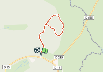

11 km | 15,4 km-effort


Gebruiker


Gratisgps-wandelapplicatie
 SityTrail
IGN / Geografische instituten
SityTrail World
De wereld gaat voor u open
Tocht Stappen van 3,5 km beschikbaar op Occitanië, Aveyron, Laguiole. Deze tocht wordt voorgesteld door tracegps.
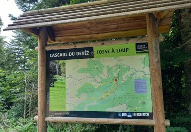
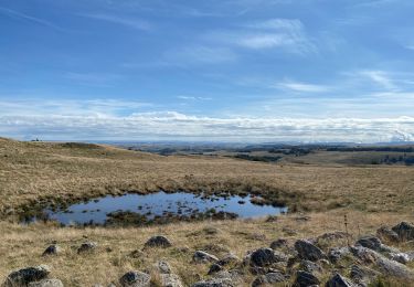
Le circuit botanique de Laguiole est un circuit pédestre très facile sur le plateau de l'Aubrac. Le parcours est bien indiqué et le sentier est facile à suivre même en hiver avec la neige. Vous pourrez trouver une description plus précise sur randozone.com.

Stappen

Stappen
Stappen

Stappen
Stappen
Stappen

Stappen
Stappen