Tocht Stappen Le Noyer-en-Ouche - Circuit de Chatel La Lune - Le Noyer en Ouche - Photo

Circuit de Chatel La Lune - Le Noyer en Ouche

 tracegps
tracegps

Gebruiker

© OpenStreetMap contributors
Lengte
Lengte
10,3 km
Max. hoogte
Max. hoogte
164 m
Positief hoogteverschil
117 m
Km-Effort
Km-Effort  
11,9 km
Min. hoogte
Min. hoogte
116 m
Negatief hoogteverschil
117 m
Boucle
Boucle
Ja
Datum van aanmaak :
2014-12-10 00:00:00.0
Laatste wijziging :
2014-12-10 00:00:00.0

(1 Bericht)

Stappen
Stappen
2h30
Moeilijkheid : Medium

Scan deze QR-code om de tocht te openen in de SityTrail-applicatie

Gratisgps-wandelapplicatie

Logo SityTrail SityTrail

IGN / Geografische instituten

SityTrail uit de App Store downloaden SityTrail uit Google Play downloaden

Logo SityTrail SityTrail World

De wereld gaat voor u open

SityTrail uit de App Store downloaden SityTrail uit Google Play downloaden SityTrail op Huawei AppGallery downloaden

Over ons

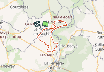
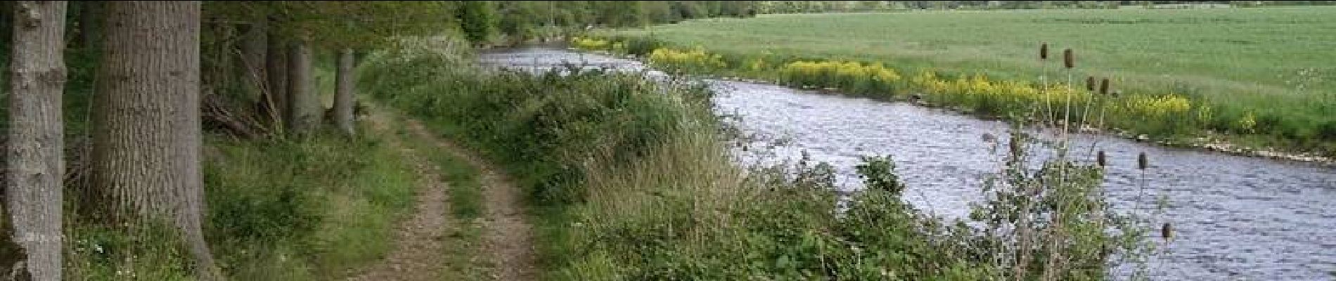
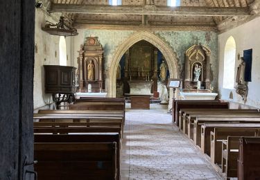
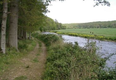
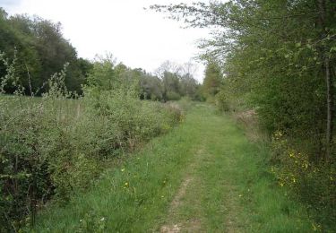
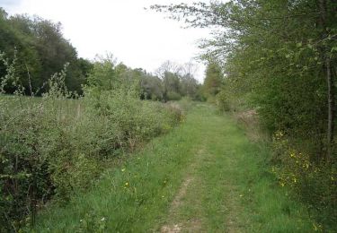
Tocht Stappen van 10,3 km beschikbaar op Normandië, Eure, Le Noyer-en-Ouche. Deze tocht wordt voorgesteld door tracegps.

Beschrijving

Départ de la mairie du Noyer en Ouche. A voir en chemin: l'église Notre Dame du XIXe et l'église de Mancelles. Retrouvez ce circuit, parmi 17 autres, sur le dépliant proposé par l’Office de Tourisme de Beaumesnil.

Hoogteprofiel

Foto's

Plaatsbepaling

Land:
France
Regio :
Normandië
Departement/Provincie :
Eure
Gemeente :
Le Noyer-en-Ouche
Locatie:
Unknown
Vertrek:(Dec)
Vertrek:(UTM)
336960 ; 5430463 (31U) N.

Opmerkingen

Gelieve in te loggen om een commentaar of een beoordeling achter te laten


Wandeltochten in de omgeving

Tocht Stappen Le Noyer-en-Ouche - Le noyer en ouche - Mancelles - Photo
Stappen
serleb

Stappen

Gemakkelijk
Le Noyer-en-Ouche, Normandië, Eure, France
10,3 km | 11,8 km-effort
2h 45min
Ja
Tocht Stappen Mesnil-en-Ouche - 20220610-Beaumesnil - Photo
Stappen
doudet

Stappen

Medium
Mesnil-en-Ouche, Normandië, Eure, France
22 km | 24 km-effort
5h 57min
Ja
Tocht Wegfiets Mesnil-en-Ouche - BeauMESNIL  - Photo
Wegfiets
jpbonnemains

Wegfiets

Mesnil-en-Ouche, Normandië, Eure, France
27 km | 0 m-effort
1h 33min
Neen
Tocht Stappen La Houssaye - Circuit des Moulins - La Houssaye - Photo
Stappen
tracegps

Stappen

Moeilijk
(2)
La Houssaye, Normandië, Eure, France
12,3 km | 14,4 km-effort
3h 4min
Ja
Tocht Mountainbike Mesnil-en-Ouche - Circuit de pierre ronde - Beaumesnil - Photo
Mountainbike
tracegps

Mountainbike

Medium
(1)
Mesnil-en-Ouche, Normandië, Eure, France
11 km | 12,7 km-effort
1h 30min
Ja
Tocht Stappen Mesnil-en-Ouche - Circuit de pierre ronde - Beaumesnil - Photo
Stappen
tracegps

Stappen

Medium
Mesnil-en-Ouche, Normandië, Eure, France
11 km | 12,7 km-effort
2h 45min
Ja
Tocht Stappen Mesnil-en-Ouche - Beaumesnil  - Photo
Stappen
serleb

Stappen

Gemakkelijk
Mesnil-en-Ouche, Normandië, Eure, France
11,4 km | 13,1 km-effort
3h 2min
Ja
Tocht Stappen La Ferrière-sur-Risle - Ajou - Photo
Stappen
serleb

Stappen

La Ferrière-sur-Risle, Normandië, Eure, France
9,4 km | 10,7 km-effort
2h 34min
Ja
Tocht Stappen Mesnil-en-Ouche - Ajou - Photo
Stappen
werth

Stappen

Gemakkelijk
Mesnil-en-Ouche, Normandië, Eure, France
14,3 km | 16,9 km-effort
5h 1min
Ja


Sluiten
Mijn abonnementen