


8,6 km | 11,9 km-effort


Gebruiker


Gratisgps-wandelapplicatie
 SityTrail
IGN / Geografische instituten
SityTrail World
De wereld gaat voor u open
Tocht Stappen van 22 km beschikbaar op Auvergne-Rhône-Alpes, Haute-Loire, Les Estables. Deze tocht wordt voorgesteld door tracegps.
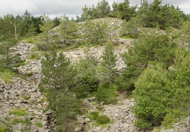
Départ du parking du Col de la Croix de Peccata sur la D 274. En commençant le circuit à 1569 m, vous grimperez vers le Mont d'Alambre à 1691m. Aprés en avoir fait le tour par « le chemin de ronde », on part contourner par le Nord le Mont Mézenc que l'on gravira par le Sud le sommet pour atteindre les 1753 m. On descendra de 200m pour rejoindre le départ.


Mountainbike

Mountainbike

Stappen

Stappen
Stappen

Stappen

Stappen
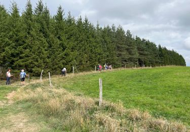
Stappen
Stappen