12,9 km | 14,3 km-effort
De Roeux à Plouvain
tracegps
Gebruiker
Lengte
6,3 km
Max. hoogte
52 m
Positief hoogteverschil
23 m
Km-Effort
6,6 km
Min. hoogte
43 m
Negatief hoogteverschil
23 m
Boucle
Ja
Datum van aanmaak :
2014-12-10 00:00:00.0
Laatste wijziging :
2014-12-10 00:00:00.0
1h34
Moeilijkheid : Gemakkelijk
Gratisgps-wandelapplicatie
Over ons
Tocht Stappen van 6,3 km beschikbaar op Hauts-de-France, Pas-de-Calais, Rœux. Deze tocht wordt voorgesteld door tracegps.
Beschrijving
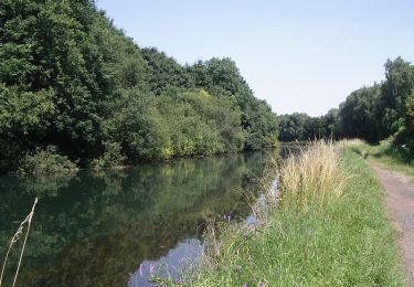
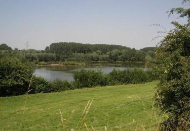
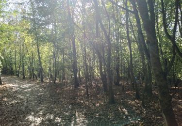
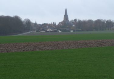
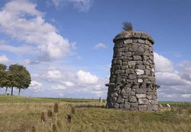
Jolie promenade, au départ de l'église de Roeux, près du lac bleu qui longe un moment la Scarpe canalisée.
Plaatsbepaling
Land:
France
Regio :
Hauts-de-France
Departement/Provincie :
Pas-de-Calais
Gemeente :
Rœux
Locatie:
Unknown
Vertrek:(Dec)
Vertrek:(UTM)
492773 ; 5571381 (31U) N.
Opmerkingen
Wandeltochten in de omgeving
Le chemin du Maresquay - Athies
Stappen
Moeilijk
(1)
Athies,
Hauts-de-France,
Pas-de-Calais,
France
3h 15min
Ja
Le chemin du Caribou - Monchy le Preux
Stappen
Medium
(1)
Monchy-le-Preux,
Hauts-de-France,
Pas-de-Calais,
France
9,2 km | 10,1 km-effort
2h 19min
Ja
De Roeux à Pelves via Monchy-le-Preux
Stappen
Medium
Rœux,
Hauts-de-France,
Pas-de-Calais,
France
9,5 km | 10,6 km-effort
2h 30min
Ja
Lacs et marais - Roeux
Stappen
Zeer moeilijk
Rœux,
Hauts-de-France,
Pas-de-Calais,
France
18,3 km | 19,6 km-effort
4h 30min
Ja
Des bords de la Scarpe - Fampoux
Stappen
Medium
Fampoux,
Hauts-de-France,
Pas-de-Calais,
France
9,6 km | 10,5 km-effort
2h 25min
Ja
Plouvain le Lac Bleu le marais de Biache Saint Waast
Stappen
Medium
Plouvain,
Hauts-de-France,
Pas-de-Calais,
France
10,3 km | 11,1 km-effort
2h 19min
Ja
Monchy le Preux
Stappen
Medium
Monchy-le-Preux,
Hauts-de-France,
Pas-de-Calais,
France
9,7 km | 10,6 km-effort
2h 0min
Ja
Pelves - Monchy le Preux - Boiry Notre Dame
Stappen
Medium
Pelves,
Hauts-de-France,
Pas-de-Calais,
France
9,9 km | 11,2 km-effort
2h 0min
Ja
Boiry Notre Dame- les Bonnettes - Sailly
Stappen
Medium
Boiry-Notre-Dame,
Hauts-de-France,
Pas-de-Calais,
France
10,9 km | 11,8 km-effort
2h 0min
Ja