

Angos - Sarouilles - Lac de l'Arrêt Darré

tracegps
Gebruiker

Lengte
26 km

Max. hoogte
434 m

Positief hoogteverschil
573 m

Km-Effort
34 km

Min. hoogte
244 m

Negatief hoogteverschil
575 m
Boucle
Ja
Datum van aanmaak :
2014-12-10 00:00:00.0
Laatste wijziging :
2014-12-10 00:00:00.0
1h49
Moeilijkheid : Moeilijk

Gratisgps-wandelapplicatie
Over ons
Tocht Mountainbike van 26 km beschikbaar op Occitanië, Hautes-Pyrénées, Angos. Deze tocht wordt voorgesteld door tracegps.
Beschrijving
Circuit varié avec une vue imprenable sur les Pyrénées depuis le Lac du l'Arrêt Darré. Il est d'une difficulté que je qualifierai de Moyenne , la difficulté étant fonction du niveau de forme de chacun. Mon Etrex affichait 541m de dénivelé. Bonne balade.
Plaatsbepaling
Land:
France
Regio :
Occitanië
Departement/Provincie :
Hautes-Pyrénées
Gemeente :
Angos
Locatie:
Unknown
Vertrek:(Dec)
Vertrek:(UTM)
268998 ; 4786280 (31T) N.
Opmerkingen
Wandeltochten in de omgeving

lhezlespontsfaif


Stappen
Heel gemakkelijk
(1)
Lhez,
Occitanië,
Hautes-Pyrénées,
France

11,6 km | 14,9 km-effort
3h 15min
Ja

lhezlespontsfaif


Stappen
Heel gemakkelijk
Lhez,
Occitanië,
Hautes-Pyrénées,
France

11,6 km | 14,9 km-effort
3h 15min
Ja
Le Bois de Rebisclou


Te voet
Gemakkelijk
Barbazan-Debat,
Occitanië,
Hautes-Pyrénées,
France

9,6 km | 12,7 km-effort
2h 53min
Ja
Lhez-Les ponts G4 fait en 2021


Stappen
Moeilijk
Lhez,
Occitanië,
Hautes-Pyrénées,
France

11,2 km | 14,4 km-effort
3h 22min
Ja

bernac les deux fait


Stappen
Heel gemakkelijk
Bernac-Debat,
Occitanië,
Hautes-Pyrénées,
France

7,8 km | 9,2 km-effort
2h 40min
Ja
lhezfaiapied


Stappen
Heel gemakkelijk
Lhez,
Occitanië,
Hautes-Pyrénées,
France

9,5 km | 12,4 km-effort
2h 59min
Ja
la barthe circuit rouge


Stappen
Heel gemakkelijk
Séméac,
Occitanië,
Hautes-Pyrénées,
France

3,4 km | 4,7 km-effort
59min
Ja
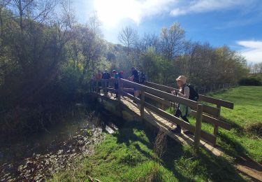
LHEZG42021


Stappen
Medium
Lhez,
Occitanië,
Hautes-Pyrénées,
France

7,9 km | 9,7 km-effort
5h 22min
Ja
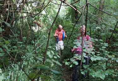
lhez les ponts G4 2022


Stappen
Moeilijk
Lhez,
Occitanië,
Hautes-Pyrénées,
France

11,9 km | 15,5 km-effort
5h 17min
Ja


 SityTrail


