


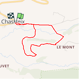

17,7 km | 24 km-effort

Gebruiker


Gratisgps-wandelapplicatie
 SityTrail
IGN / Geografische instituten
SityTrail World
De wereld gaat voor u open
Tocht Mountainbike van 3,8 km beschikbaar op Auvergne-Rhône-Alpes, Puy-de-Dôme, Chastreix. Deze tocht wordt voorgesteld door tracegps.
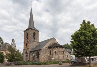
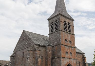
Circuit officiel labellisé par la Fédération Française de Cyclisme. Secteur nature chargé d'histoire offrant une vue exceptionnelle sur des espaces protégés et ruraux. Départ place du village, devant l'église. . Téléchargez le plan des circuits.


Stappen

Stappen

Te voet
Te voet
Te voet
Te voet

Te voet
Stappen
Stappen