


11,4 km | 15,2 km-effort


Gebruiker


Gratisgps-wandelapplicatie
 SityTrail
IGN / Geografische instituten
SityTrail World
De wereld gaat voor u open
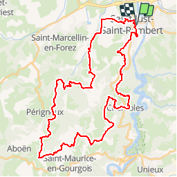
Tocht Mountainbike van 47 km beschikbaar op Auvergne-Rhône-Alpes, Loire, Saint-Just-Saint-Rambert. Deze tocht wordt voorgesteld door tracegps.
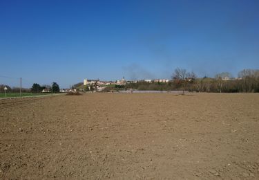
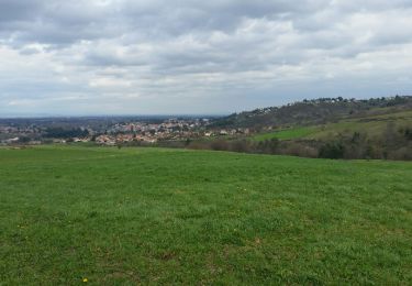
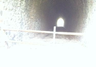
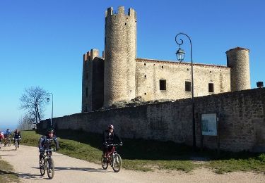
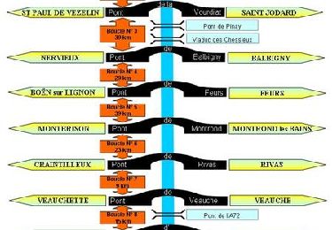
Parking et départ de la salle Embarcadère. Cette randonnée (VTT, marche et cyclotouriste) est organisée par le club "Cyclotouristes de Saint-Just-Saint-Rambert". Le parcours est globalement roulant mais il sait se montrer extrêmement physique et exigeant car il est ponctuellement rythmé par des passages très techniques avec des ascensions et des descentes cassantes dans la caillasse, les racines et les rochers mais également sur des pistes sableuses qui peuvent s’avérer piégeuses... on y laisse pas mal de jus !!! Quelques beaux points de vue sur le Livradois-Forez, le Pilat et le bassin Stéphanois. C'est le parcours idoine pour travailler la technique VTT.
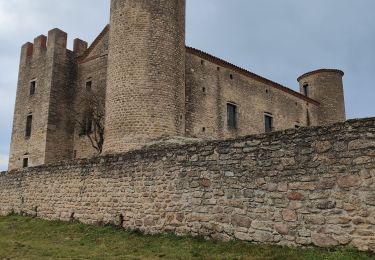
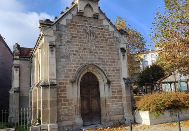
 - Saint Just Saint Rambert - Photo 1")
 - Saint Just Saint Rambert - Photo 2")
 - Saint Just Saint Rambert - Photo 3")
 - Saint Just Saint Rambert - Photo 4")
 - Saint Just Saint Rambert - Photo 5")
 - Saint Just Saint Rambert - Photo 6")
Stappen
Stappen

Mountainbike
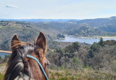
Paardrijden
Stappen
Stappen
Stappen
Mountainbike
Mountainbike