


14 km | 26 km-effort

Gebruiker


Gratisgps-wandelapplicatie
 SityTrail
IGN / Geografische instituten
SityTrail World
De wereld gaat voor u open
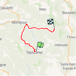
Tocht Stappen van 14,9 km beschikbaar op Auvergne-Rhône-Alpes, Drôme, Teyssières. Deze tocht wordt voorgesteld door tracegps.
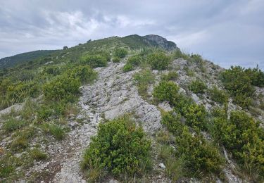
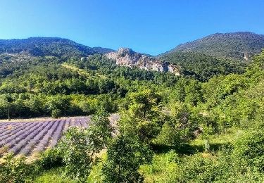
Cinquième étape : après le col de Marot (771m) on descend la Combe Lescour pour arriver au hameau de la paillette (481m). Une vallée vous permet d'atteindre le col Blanc (863m). Retrouvez le plan global du circuit sur le site de la Communauté de Communes du pays de Dieulefit.
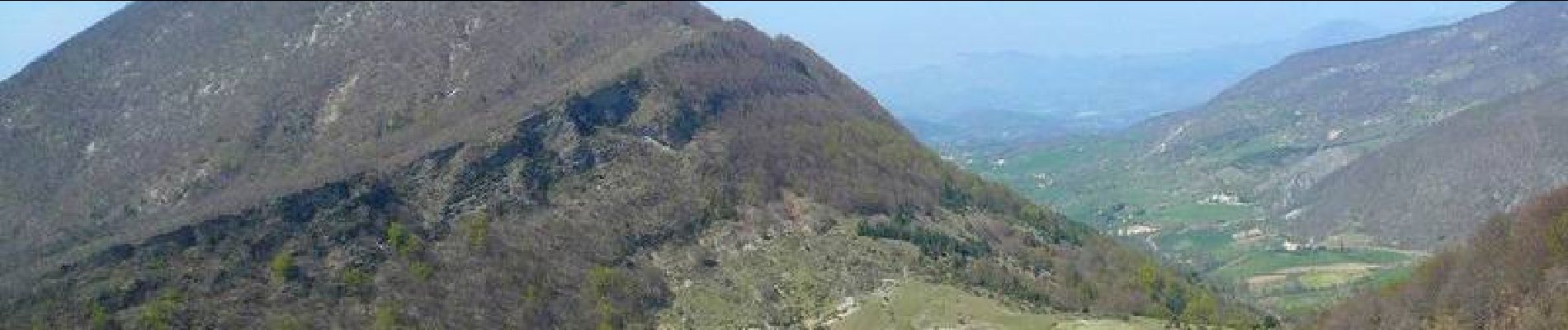
 - Photo 1")
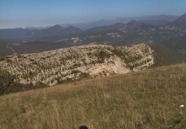
 - Photo 2")
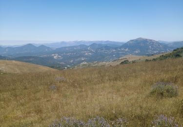
 - Photo 3")
 - Photo 4")

Stappen
Stappen
Stappen
Stappen

Stappen
Stappen

Stappen

Stappen
Stappen