


15,1 km | 21 km-effort

Gebruiker


Gratisgps-wandelapplicatie
 SityTrail
IGN / Geografische instituten
SityTrail World
De wereld gaat voor u open
Tocht Mountainbike van 72 km beschikbaar op Auvergne-Rhône-Alpes, Loire, Montchal. Deze tocht wordt voorgesteld door tracegps.
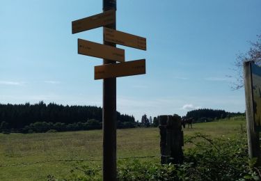
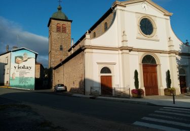
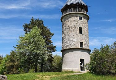
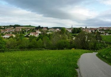
Parking et départ de la salle polyvalente La randonnée VTT de "LA TOUR MATAGRIN", organisée par le club "SQUADRA FOREZIENNE", se déroule chaque année le premier dimanche de septembre et cette 24ème édition a eu lieu le dimanche 2 septembre 2012. NB : cette trace contourne les quelques passages privés du jour de la randonnée. Ce marathon est une pure merveille... du vrai VTT et en prime les points de vue remarquables se multiplient ! C'est un parcours exigeant, physique et technique mais avec ses nombreux singles tracks il sait se montrer ludique. Il reste cependant exclusivement réservé aux VTTistes confirmés et endurants. Passage par le point culminant du coin, la Tour Matagrin (alti. 1009m), qui est maintenant coiffée par un toit afin de la protéger des intempéries. Ne pas hésiter à gravir les marches de cette tour, pour atteindre la table d'orientation et son panorama remarquable d'où il est fréquent d’apercevoir le Mont Blanc. Topoguides : Montagnes du Matin : carte VTT avec les 26 parcours, par réseau A-B-C-D-E (ces 26 circuits sont disponibles sur tracegps.com) Montagnes du Matin : Randonnée pédestre (54 circuits) Disponibles dans les OT/SI des Montagnes du Matin (Panissières et Violay)...
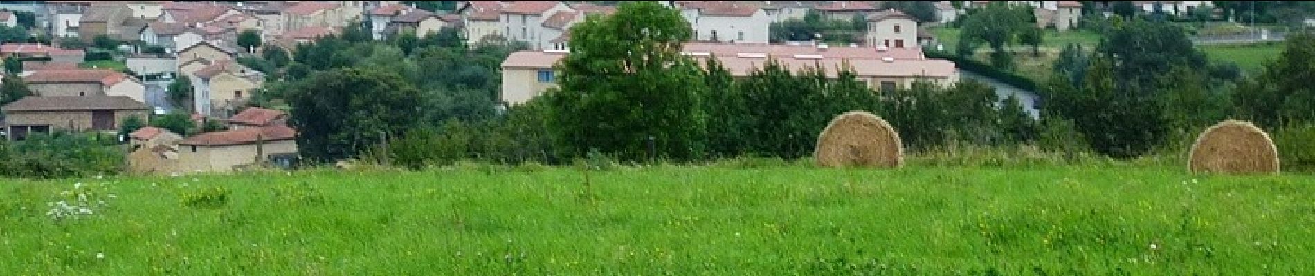
 - Photo 1")
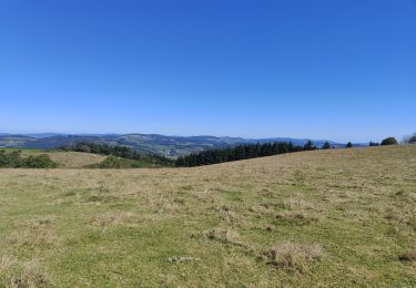
 - Photo 2")
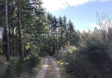
 - Photo 3")
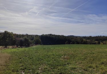
 - Photo 4")
 - Photo 5")
 - Photo 6")
Stappen
Stappen
Stappen

Stappen
Stappen
Stappen
Stappen

Stappen
Mountainbike