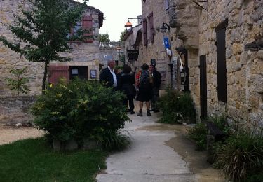
8,8 km | 9,9 km-effort
Autour de Condom
tracegps
Gebruiker
Lengte
6,2 km
Max. hoogte
159 m
Positief hoogteverschil
122 m
Km-Effort
7,8 km
Min. hoogte
71 m
Negatief hoogteverschil
122 m
Boucle
Ja
Datum van aanmaak :
2014-12-10 00:00:00.0
Laatste wijziging :
2014-12-10 00:00:00.0
2h00
Moeilijkheid : Medium
Gratisgps-wandelapplicatie
Over ons
Tocht Stappen van 6,2 km beschikbaar op Occitanië, Gers, Condom. Deze tocht wordt voorgesteld door tracegps.
Beschrijving
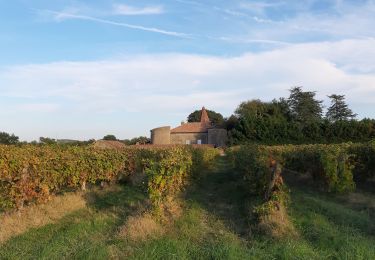
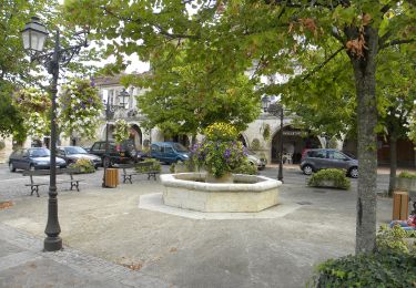
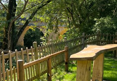
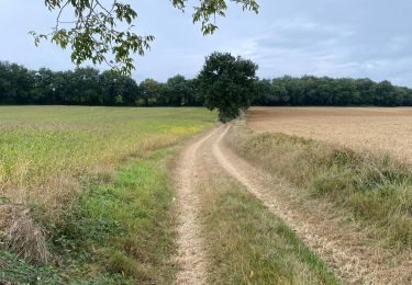
Balade facile autour de Condom.
Plaatsbepaling
Land:
France
Regio :
Occitanië
Departement/Provincie :
Gers
Gemeente :
Condom
Locatie:
Unknown
Vertrek:(Dec)
Vertrek:(UTM)
289386 ; 4870765 (31T) N.
Opmerkingen
Wandeltochten in de omgeving
Graziac- Abbaye de Flaran -Valence sur Baise- Graziac
Stappen
Gemakkelijk
Condom,
Occitanië,
Gers,
France
2h 10min
Ja
Mon Compostelle onzième étape
Stappen
Medium
Condom,
Occitanië,
Gers,
France
47 km | 57 km-effort
10h 10min
Neen
Rando santé
Stappen
Zeer moeilijk
Condom,
Occitanië,
Gers,
France
144 km | 173 km-effort
17h 3min
Neen
GR 65 Condom > Montréal
Stappen
Gemakkelijk
Condom,
Occitanië,
Gers,
France
18,7 km | 23 km-effort
5h 37min
Neen
32-03-Au Cœur de Gascogne Auch-26km-102-5571-
Stappen
Heel gemakkelijk
Condom,
Occitanië,
Gers,
France
26 km | 34 km-effort
6min
Neen
De Condom à Larressingle
Stappen
Moeilijk
Condom,
Occitanië,
Gers,
France
16,2 km | 19,4 km-effort
3h 30min
Ja
Voie verte de l'Armagnac Condom Eauze
Hybride fiets
Gemakkelijk
Condom,
Occitanië,
Gers,
France
33 km | 38 km-effort
2h 30min
Neen