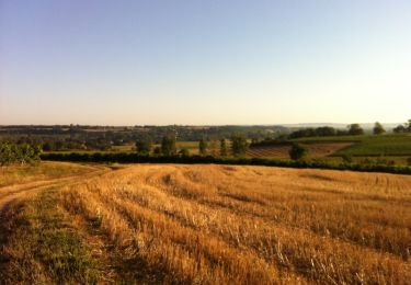
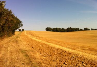
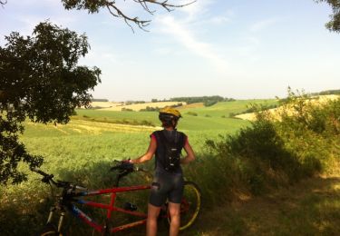
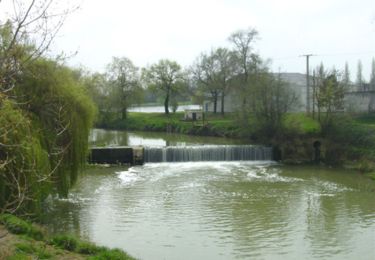
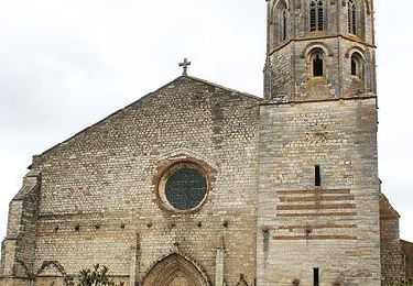
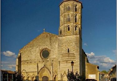
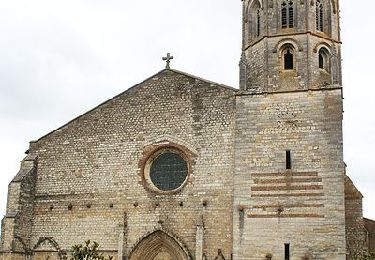
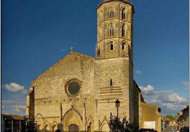
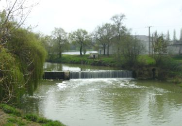
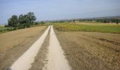
Tocht Mountainbike Fleurance - GRP Coeur de Gascogne (en plusieurs jours...) - Photo

GRP Coeur de Gascogne (en plusieurs jours...)

 tracegps
tracegps

Gebruiker

© OpenStreetMap contributors
Lengte
Lengte
155 km
Max. hoogte
Max. hoogte
264 m
Positief hoogteverschil
2973 m
Km-Effort
Km-Effort  
195 km
Min. hoogte
Min. hoogte
67 m
Negatief hoogteverschil
2968 m
Boucle
Boucle
Ja
Datum van aanmaak :
2014-12-10 00:00:00.0
Laatste wijziging :
2014-12-10 00:00:00.0

(0 Bericht)

Mountainbike
Mountainbike
12h00
Moeilijkheid : Zeer moeilijk

Scan deze QR-code om de tocht te openen in de SityTrail-applicatie

Gratisgps-wandelapplicatie

Logo SityTrail SityTrail
IGN / Geografische instituten

SityTrail uit de App Store downloaden SityTrail uit Google Play downloaden

Logo SityTrail SityTrail World

De wereld gaat voor u open

SityTrail uit de App Store downloaden SityTrail uit Google Play downloaden SityTrail op Huawei AppGallery downloaden

Over ons

Tocht Mountainbike van 155 km beschikbaar op Occitanië, Gers, Fleurance. Deze tocht wordt voorgesteld door tracegps.

Beschrijving

Le meilleur moyen de connaitre le Gers est encore de parcourir ses routes, chemins, ses espaces. En empruntant cet itinéraire, découvrez tour à tour Fleurance, Montaut-les-Crénaux, Auch, Lavardens, Caséra-Verduzan, Valence-sur-Baïse, Condom, La Romieu et Lectoure. Réalisable en VTT en 2 ou 3 jours. Réalisable en 6 jours à pied. Vous trouverez toutes les infos sur le TopoGuides (Le Gers à Pied). Editeur: FFRANDONNEE

Hoogteprofiel

Foto's

Plaatsbepaling

Land:
France
Regio :
Occitanië
Departement/Provincie :
Gers
Gemeente :
Fleurance
Locatie:
Unknown
Vertrek:(Dec)
Vertrek:(UTM)
310662 ; 4857944 (31T) N.

Wandeltochten in de omgeving

Tocht Mountainbike Fleurance - De Fleurance à Gavarret - Photo
Mountainbike
tracegps

Mountainbike

Medium
Fleurance, Occitanië, Gers, France
23 km | 27 km-effort
1h 30min
Ja
Tocht Mountainbike Fleurance - Circuit sud-ouest de Fleurance - Photo
Mountainbike
tracegps

Mountainbike

Medium
Fleurance, Occitanië, Gers, France
43 km | 50 km-effort
2h 30min
Ja
Tocht Mountainbike Fleurance - Les coteaux ouest de Fleurance - Photo
Mountainbike
tracegps

Mountainbike

Moeilijk
Fleurance, Occitanië, Gers, France
46 km | 56 km-effort
3h 30min
Ja
Tocht Stappen Fleurance - Quand on marchait 8,5 km sur les chemins... - Fleurance - Photo
Stappen
tracegps

Stappen

Medium
Fleurance, Occitanië, Gers, France
8,6 km | 10,2 km-effort
2h 10min
Ja
Tocht Stappen Fleurance - Quand on marchait 6 km sur les chemins... - Fleurance - Photo
Stappen
tracegps

Stappen

Gemakkelijk
Fleurance, Occitanië, Gers, France
6,6 km | 7,8 km-effort
1h 30min
Ja
Tocht Stappen Fleurance - Quand on marchait 4 km sur les chemins... - Fleurance - Photo
Stappen
tracegps

Stappen

Gemakkelijk
Fleurance, Occitanië, Gers, France
4,4 km | 5,2 km-effort
1h 0min
Ja
Tocht Stappen Fleurance - Balade tout autour de Fleurance - Photo
Stappen
tracegps

Stappen

Medium
Fleurance, Occitanië, Gers, France
14 km | 15,4 km-effort
3h 30min
Ja
Tocht Stappen Fleurance - Sur les traces des remparts - Fleurance - Photo
Stappen
tracegps

Stappen

Medium
Fleurance, Occitanië, Gers, France
15,8 km | 17,8 km-effort
4h 0min
Ja
Tocht Stappen Fleurance - Le chemin du pigeonnier - Fleurance - Photo
Stappen
tracegps

Stappen

Medium
Fleurance, Occitanië, Gers, France
9,8 km | 10,8 km-effort
2h 30min
Ja


Sluiten
Mijn abonnementen