


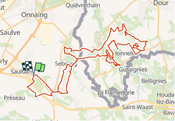

8,4 km | 9,4 km-effort


Gebruiker


Gratisgps-wandelapplicatie
 SityTrail
IGN / Geografische instituten
SityTrail World
De wereld gaat voor u open
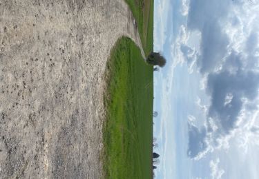
Tocht Mountainbike van 57 km beschikbaar op Hauts-de-France, Noorderdepartement, Curgies. Deze tocht wordt voorgesteld door tracegps.
Balade sportive au départ de Curgies en direction de la Belgique et plus particulièrement du caillou qui bique donc un peu de D .

Stappen

Stappen
Stappen
Stappen

Quad

Stappen
Stappen
Stappen
Stappen