


13,1 km | 17,5 km-effort

Gebruiker


Gratisgps-wandelapplicatie
 SityTrail
IGN / Geografische instituten
SityTrail World
De wereld gaat voor u open
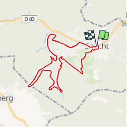
Tocht Stappen van 8,1 km beschikbaar op Grand Est, Moselle, Soucht. Deze tocht wordt voorgesteld door tracegps.
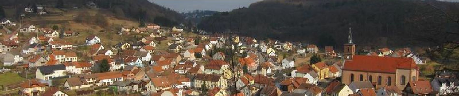
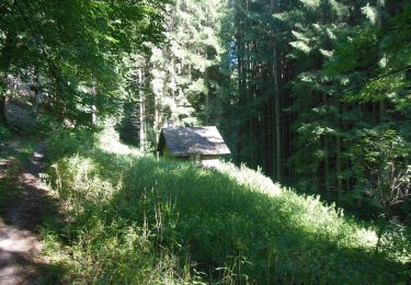
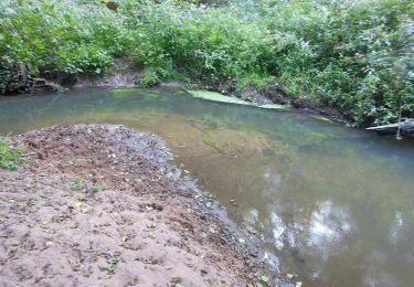
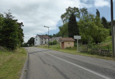
Sentier au sud-ouest de Soucht. Très joli point de vue sur le village depuis le haut de la rue des Vosges. Passage à la Source du Hollert, au rocher du Stratzelfelsen, à la borne frontière du Spitzstein et au rocher du Heidenfelsen. Les rochers sont des affleurements de grès congloméral. La randonnée se déroule essentiellement sous couvert forestier.


Stappen
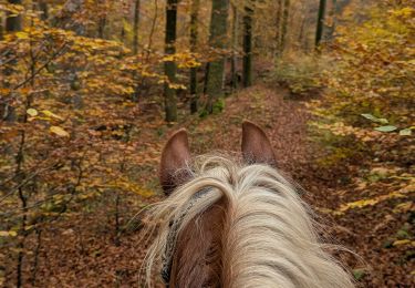
Paardrijden
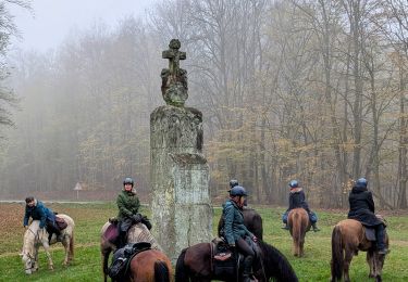
Paardrijden
Te voet
Te voet
Te voet
Te voet
Te voet
