


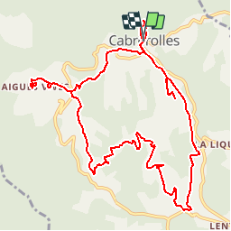

13 km | 18,6 km-effort


Gebruiker


Gratisgps-wandelapplicatie
 SityTrail
IGN / Geografische instituten
SityTrail World
De wereld gaat voor u open
Tocht Stappen van 14,2 km beschikbaar op Occitanië, Hérault, Cabrerolles. Deze tocht wordt voorgesteld door jdelettrez.
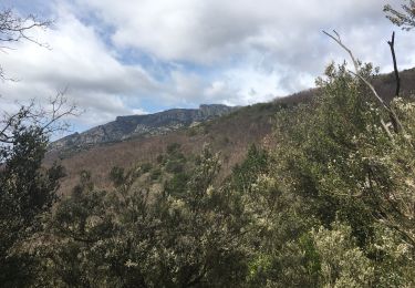
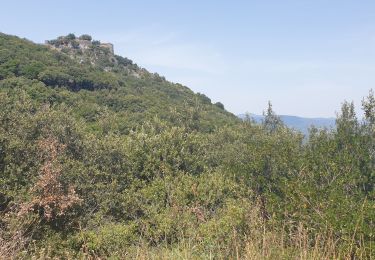
Une très belle rando partant de Cabrerolles sur des pistes très praticables et une étonnante structure géologique nommé le Trou du Météore. Parking devant l'église
Stappen

Stappen
Te voet

Mountainbike
Stappen
Stappen

Te voet
Stappen
Stappen
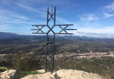
Rando suivie le 13/03/2015. Des taches de peinture rouge sur des cailloux aident à trouver la bonne direction.Rando en pleine nature et dans les vignes un peu montagnes russes.