


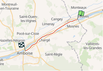

15,3 km | 17,6 km-effort


Gebruiker


Gratisgps-wandelapplicatie
 SityTrail
IGN / Geografische instituten
SityTrail World
De wereld gaat voor u open
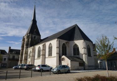
Tocht Andere activiteiten van 11,6 km beschikbaar op Centre-Val de Loire, Indre-et-Loire, Mosnes. Deze tocht wordt voorgesteld door pascalcla.
Parcours en canoë. Super sympa. La Loire est vraiment magnifique. Amenez votre appareil photo. Vous pouvez prévoir un petit casse croute sur l'une des nombreuses iles.
Stappen
Stappen
Stappen
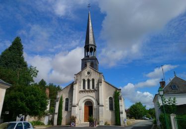
Stappen
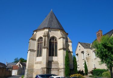
Stappen
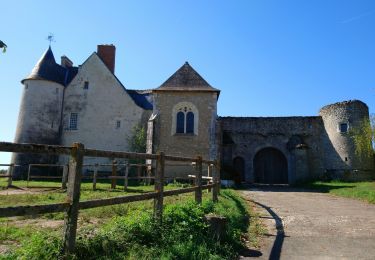
Stappen
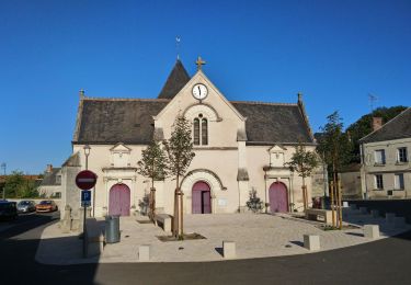
Stappen
Stappen

Stappen