


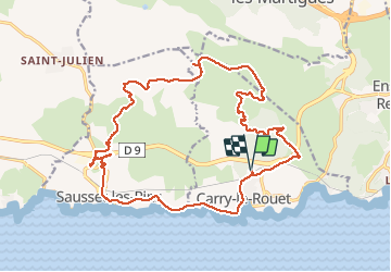

17,1 km | 24 km-effort


Gebruiker


Gratisgps-wandelapplicatie
 SityTrail
IGN / Geografische instituten
SityTrail World
De wereld gaat voor u open
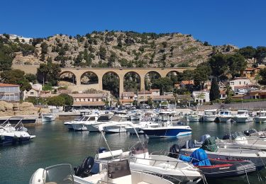
Tocht Mountainbike van 23 km beschikbaar op Provence-Alpes-Côte d'Azur, Bouches-du-Rhône, Carry-le-Rouet. Deze tocht wordt voorgesteld door fifidebreizh.
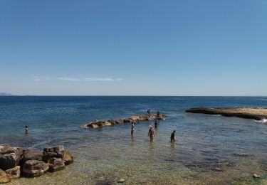
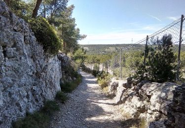
Belle randonnée, beaucoup de cotes, descentes pentues et pierreuses. Guide imprévue entré 3 et 4.


Stappen
Te voet

Te voet

Te voet
Te voet
Te voet

Te voet
Te voet
Stappen