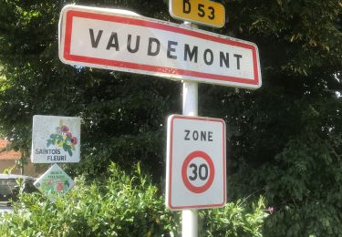
8,4 km | 10,7 km-effort
Sion
claudemoret
Gebruiker
Lengte
12,5 km
Max. hoogte
531 m
Positief hoogteverschil
280 m
Km-Effort
16,2 km
Min. hoogte
399 m
Negatief hoogteverschil
272 m
Boucle
Ja
Datum van aanmaak :
2014-12-10 00:00:00.0
Laatste wijziging :
2019-08-10 16:51:51.57
4h40
Moeilijkheid : Onbekend
Gratisgps-wandelapplicatie
Over ons
Tocht Stappen van 12,5 km beschikbaar op Grand Est, Meurthe-et-Moselle, Saxon-Sion. Deze tocht wordt voorgesteld door claudemoret.
Beschrijving
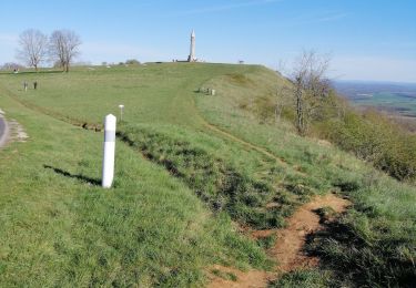
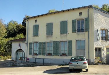
Rando-cool. Panorama depuis le monument Barres. Joli préau à Vaudémont pour le pique-nique.
Plaatsbepaling
Land:
France
Regio :
Grand Est
Departement/Provincie :
Meurthe-et-Moselle
Gemeente :
Saxon-Sion
Locatie:
Unknown
Vertrek:(Dec)
Vertrek:(UTM)
284299 ; 5368171 (32U) N.
Opmerkingen
Wandeltochten in de omgeving
Circuit Barrès - Brunehaut
Te voet
Gemakkelijk
Vaudémont,
Grand Est,
Meurthe-et-Moselle,
France
2h 26min
Ja
PRAYE - LA COLLINE DE SION-VAUDEMONT
Stappen
Gemakkelijk
(1)
Praye,
Grand Est,
Meurthe-et-Moselle,
France
16,6 km | 22 km-effort
8h 52min
Ja
Vaudemont
sport
Heel gemakkelijk
Vaudémont,
Grand Est,
Meurthe-et-Moselle,
France
5 km | 6,4 km-effort
Onbekend
Ja
sion
Stappen
Medium
Saxon-Sion,
Grand Est,
Meurthe-et-Moselle,
France
12,2 km | 16 km-effort
4h 36min
Ja
tour de Sion 54
Stappen
Medium
Praye,
Grand Est,
Meurthe-et-Moselle,
France
18,3 km | 25 km-effort
5h 8min
Ja
2012-01-15 18h02m24
Stappen
Gemakkelijk
Vaudémont,
Grand Est,
Meurthe-et-Moselle,
France
4 km | 4,8 km-effort
1h 4min
Ja
Randoguide
Stappen
Medium
Vaudémont,
Grand Est,
Meurthe-et-Moselle,
France
9,9 km | 12,9 km-effort
2h 45min
Ja
Saxon-Sion 12 300m + 282m (théorique)
Stappen
Moeilijk
Vaudémont,
Grand Est,
Meurthe-et-Moselle,
France
12,2 km | 16 km-effort
3h 38min
Ja