

Eygalières, Petit Calan

Amaralain
Gebruiker

Lengte
8,2 km

Max. hoogte
242 m

Positief hoogteverschil
167 m

Km-Effort
10,4 km

Min. hoogte
98 m

Negatief hoogteverschil
166 m
Boucle
Ja
Datum van aanmaak :
2014-12-10 00:00:00.0
Laatste wijziging :
2014-12-10 00:00:00.0
2h15
Moeilijkheid : Gemakkelijk

Gratisgps-wandelapplicatie
Over ons
Tocht Stappen van 8,2 km beschikbaar op Provence-Alpes-Côte d'Azur, Bouches-du-Rhône, Eygalières. Deze tocht wordt voorgesteld door Amaralain.
Beschrijving
Départ Mairie d'Eygalières - Les Molassis - Val Aurouso - Fort d'Ancise - Les Cordeliers et retour mairie.
Plaatsbepaling
Land:
France
Regio :
Provence-Alpes-Côte d'Azur
Departement/Provincie :
Bouches-du-Rhône
Gemeente :
Eygalières
Locatie:
Unknown
Vertrek:(Dec)
Vertrek:(UTM)
656986 ; 4847132 (31T) N.
Opmerkingen
Wandeltochten in de omgeving
plan Orgon di19mai2013


Stappen
Gemakkelijk
(2)
Orgon,
Provence-Alpes-Côte d'Azur,
Bouches-du-Rhône,
France

16 km | 18,8 km-effort
4h 28min
Ja
Eygalieres Tour de la Baume Brignolle


Stappen
Gemakkelijk
Eygalières,
Provence-Alpes-Côte d'Azur,
Bouches-du-Rhône,
France

13,6 km | 17,7 km-effort
4h 3min
Ja
Les Alpilles au dessus d'Eygalieres


Stappen
Medium
Eygalières,
Provence-Alpes-Côte d'Azur,
Bouches-du-Rhône,
France

21 km | 28 km-effort
5h 28min
Ja
Alpilles


Stappen
Moeilijk
Saint-Rémy-de-Provence,
Provence-Alpes-Côte d'Azur,
Bouches-du-Rhône,
France

13 km | 18,8 km-effort
3h 56min
Ja
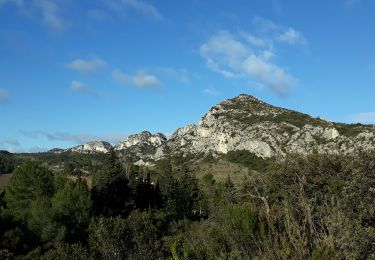
Eygalières et les Calans


Stappen
Medium
Eygalières,
Provence-Alpes-Côte d'Azur,
Bouches-du-Rhône,
France

19,7 km | 26 km-effort
5h 3min
Ja
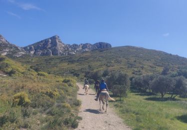
SityTrail - 2019-04-29 Rando CVA Alpilles Eygalieres Mouries


Paardrijden
Medium
Eygalières,
Provence-Alpes-Côte d'Azur,
Bouches-du-Rhône,
France

24 km | 30 km-effort
3h 51min
Neen
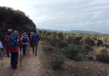
PF-Orgon - La Plaine des Alpilles


Stappen
Medium
(1)
Orgon,
Provence-Alpes-Côte d'Azur,
Bouches-du-Rhône,
France

16,3 km | 21 km-effort
5h 13min
Ja

Les Alpilles de provence


Paard
Medium
(1)
Orgon,
Provence-Alpes-Côte d'Azur,
Bouches-du-Rhône,
France

18,8 km | 22 km-effort
2h 51min
Ja
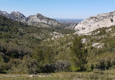
Le Gros Calan


Stappen
Medium
Eygalières,
Provence-Alpes-Côte d'Azur,
Bouches-du-Rhône,
France

10,7 km | 14,2 km-effort
3h 48min
Ja


 SityTrail


Aussi un très beau jogging d'environ 45 min une une courte montée tonique