

rando à partir de CARNAS

guignier
Gebruiker

Lengte
11,2 km

Max. hoogte
239 m

Positief hoogteverschil
208 m

Km-Effort
14 km

Min. hoogte
86 m

Negatief hoogteverschil
204 m
Boucle
Ja
Datum van aanmaak :
2014-12-10 00:00:00.0
Laatste wijziging :
2014-12-10 00:00:00.0
3h02
Moeilijkheid : Gemakkelijk

Gratisgps-wandelapplicatie
Over ons
Tocht Stappen van 11,2 km beschikbaar op Occitanië, Gard, Carnas. Deze tocht wordt voorgesteld door guignier.
Beschrijving
A partir du parking du cimetière partir sur la gauche ..suivre les poteaux indicatif.. pour la grotte il y a une borne sur la gauche.. la table d'orientation est indiquée..au stade la reprise du chemin est à 300m à droite..il y a 2gués à passer..tout est bien repéré..
Plaatsbepaling
Land:
France
Regio :
Occitanië
Departement/Provincie :
Gard
Gemeente :
Carnas
Locatie:
Unknown
Vertrek:(Dec)
Vertrek:(UTM)
579498 ; 4853688 (31T) N.
Opmerkingen
Wandeltochten in de omgeving
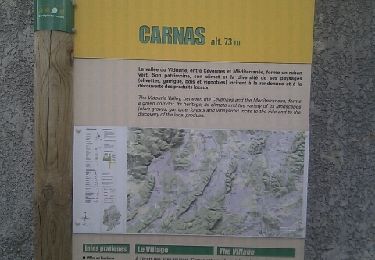
Carnas bois de Paris


Stappen
Medium
(2)
Carnas,
Occitanië,
Gard,
France

12,8 km | 15,6 km-effort
4h 0min
Ja

Le bois de Paris - Grotte, Table d'orientation, Oppidum


Stappen
Medium
(1)
Saint-Clément,
Occitanië,
Gard,
France

8,2 km | 10,9 km-effort
2h 29min
Ja
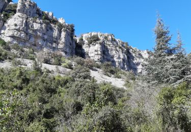
30 corconne


Stappen
Gemakkelijk
Corconne,
Occitanië,
Gard,
France

8,8 km | 12,4 km-effort
3h 45min
Ja

Corconne et la forêt de Coutach


Stappen
Gemakkelijk
(2)
Corconne,
Occitanië,
Gard,
France

18,1 km | 25 km-effort
5h 26min
Ja

Corconne


Stappen
Medium
(1)
Corconne,
Occitanië,
Gard,
France

11,4 km | 15,2 km-effort
3h 28min
Neen
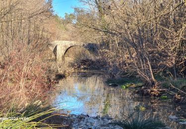
chapelle D'Aleyrac vers vacquieres parc du duc


Stappen
Moeilijk
Vacquières,
Occitanië,
Hérault,
France

12,9 km | 15,3 km-effort
3h 28min
Ja
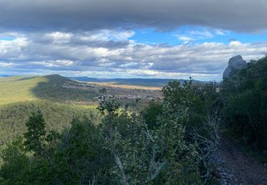
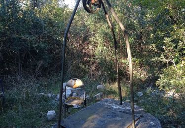
30 le mazet des gardes Corconne 8/11/23


Stappen
Zeer moeilijk
Corconne,
Occitanië,
Gard,
France

18,1 km | 24 km-effort
5h 21min
Ja
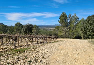
Asperes-stClement-gailhan-lecques


Stappen
Medium
Aspères,
Occitanië,
Gard,
France

16,3 km | 19,5 km-effort
4h 44min
Ja


 SityTrail


